Snowman Trek - 24 Days
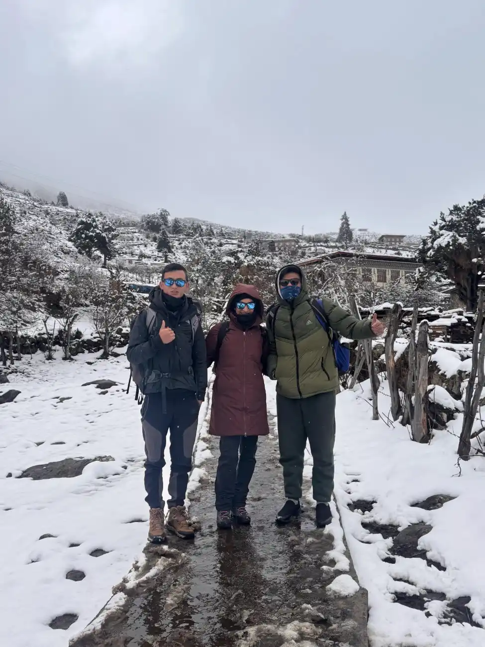
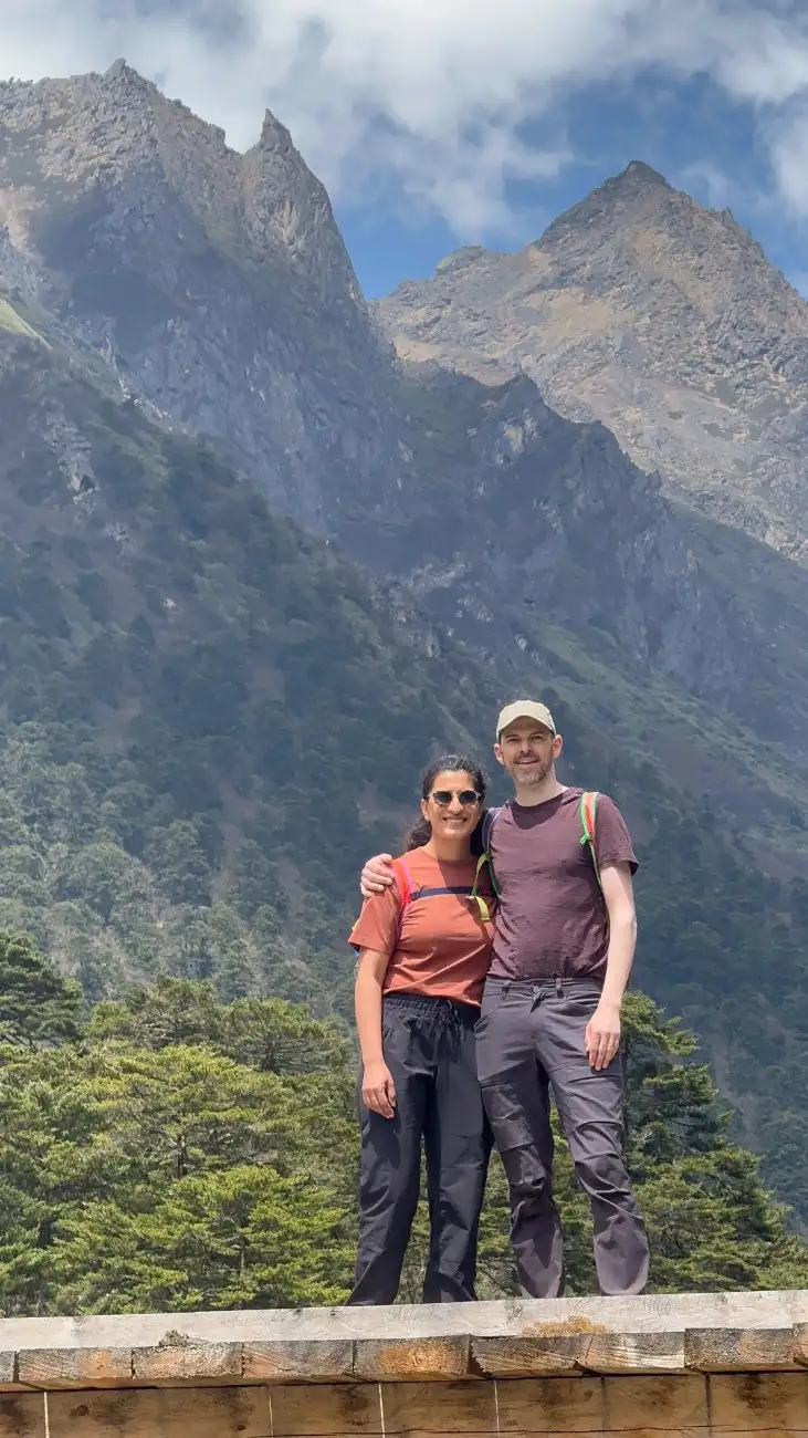
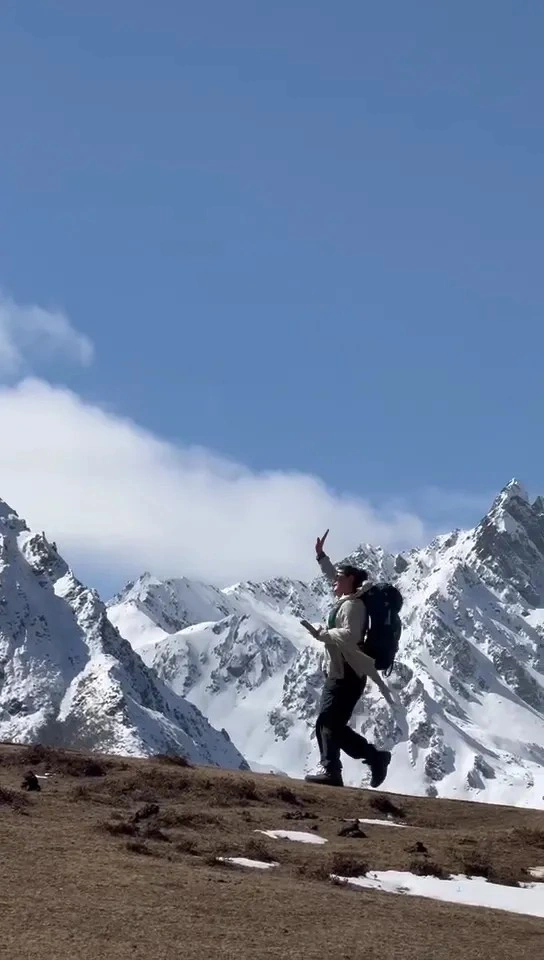
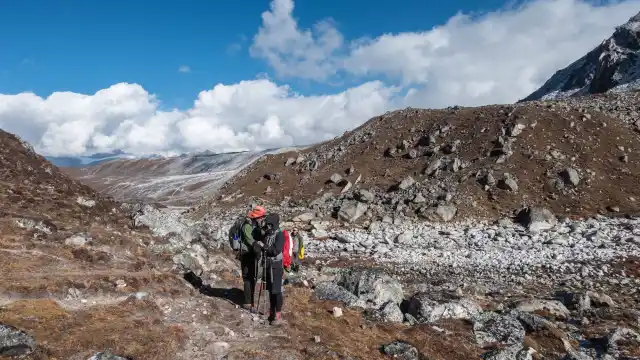
The Snowman Trek is once in a lifetime Himalayan trek. It takes you to the remote places in Bhutan. The trail passes through high passes, remote valleys, and quiet villages. You walk at a high altitude where the sky feels very close. The land changes from green fields to rock and snow. You see many wild plants and rare birds. You meet the Layap people and other mountain communities. Their homes and ways of life are very different from the busy towns. This trek also touches sacred sites and old monasteries.
Highlights of the tour
Traversing through the Legendary Snowman Trek Route Exploring Remote Villages like Laya and Thanza Enjoying Authentic Bhutanese Hospitality Camping in Pristine Alpine Landscapes Visiting Ancient Monasteries, Chortens, and Spiritually Significant Places Spotting rare Himalayan wildlife, birds, and vibrant alpine flora
Trip Overview
This trip includes local guides, eco-friendly camping, and community-based stays. That helps the villages and keeps the land safer. Trips are operated to sustain people and nature rather than to damage it. You should go on this trek if you are an admirer of nature and its culture and enjoy long walking days. The Snowman Trek is just one highlight among many, a look through our curated Bhutan trekking tours reveals the full spectrum of high-altitude adventures we offer.
Highlights of the Snowman Trek
The Snowman Trek is a long trip. It rewards you with deep mountain views, old villages, and rare wildlife. Each day brings new scenes and new feelings.
Traversing through the Legendary Snowman Trek Route
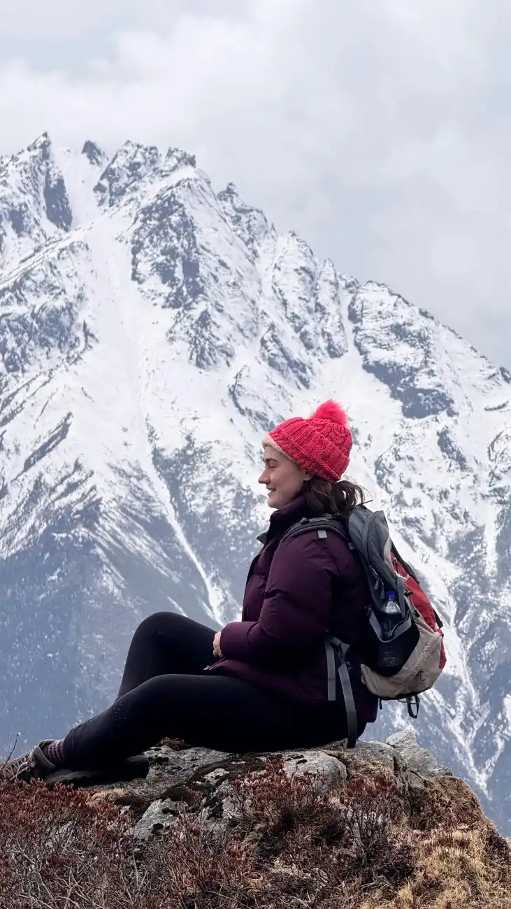
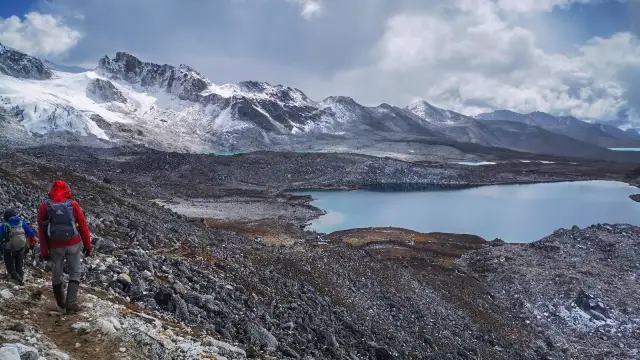
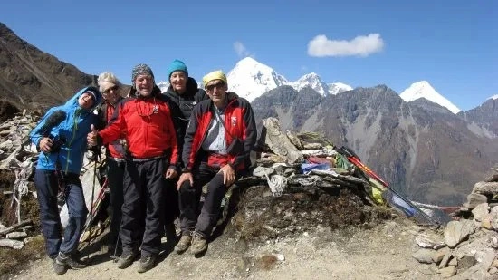
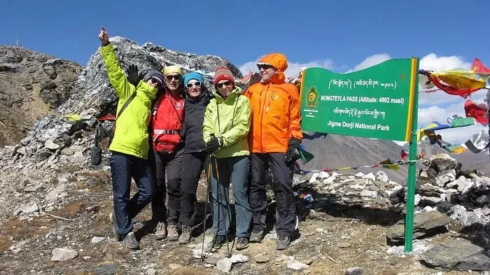
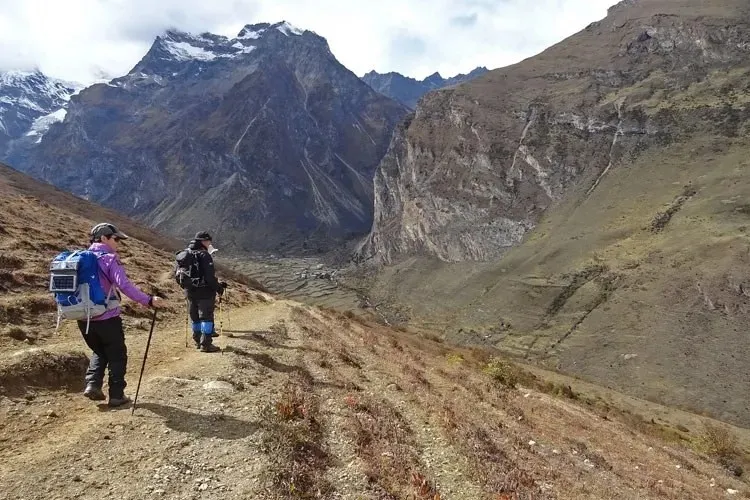
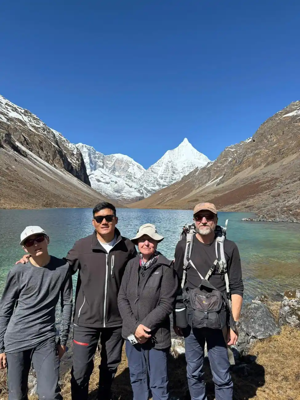
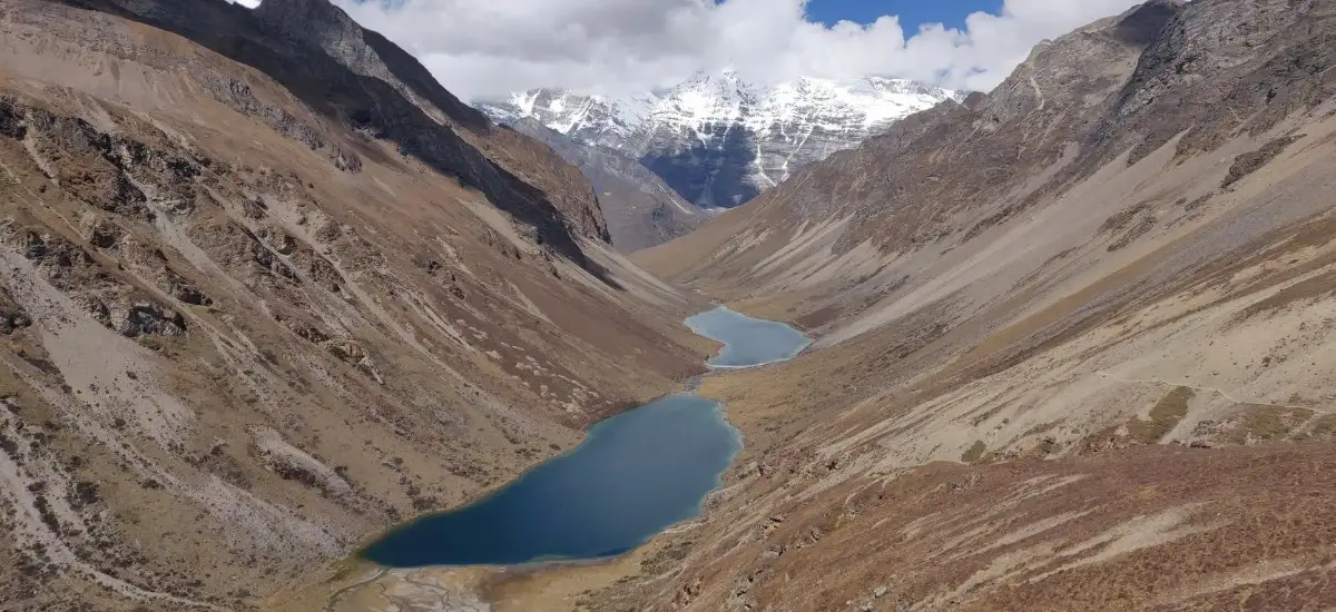
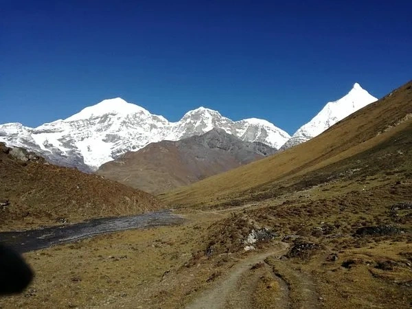
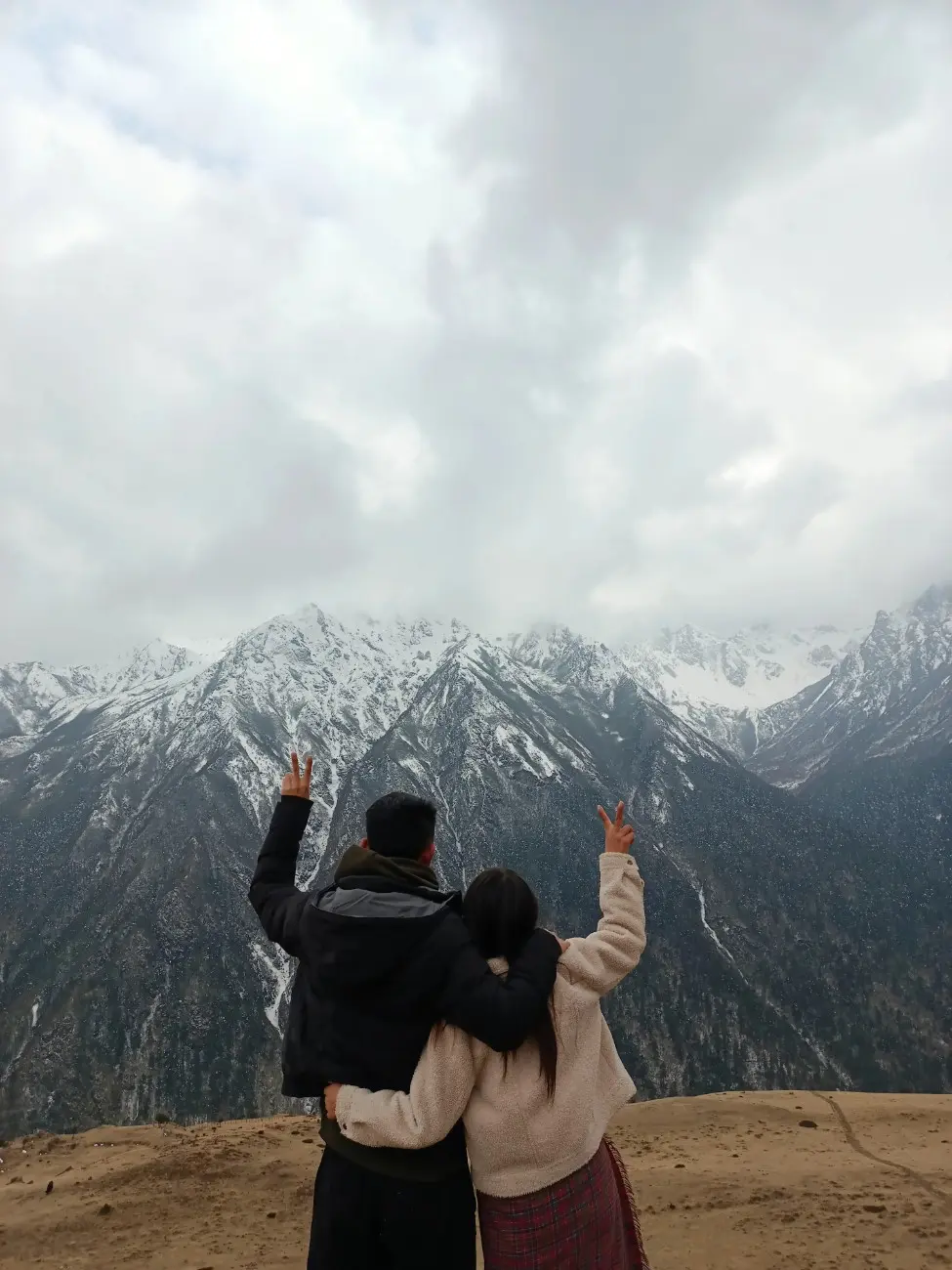
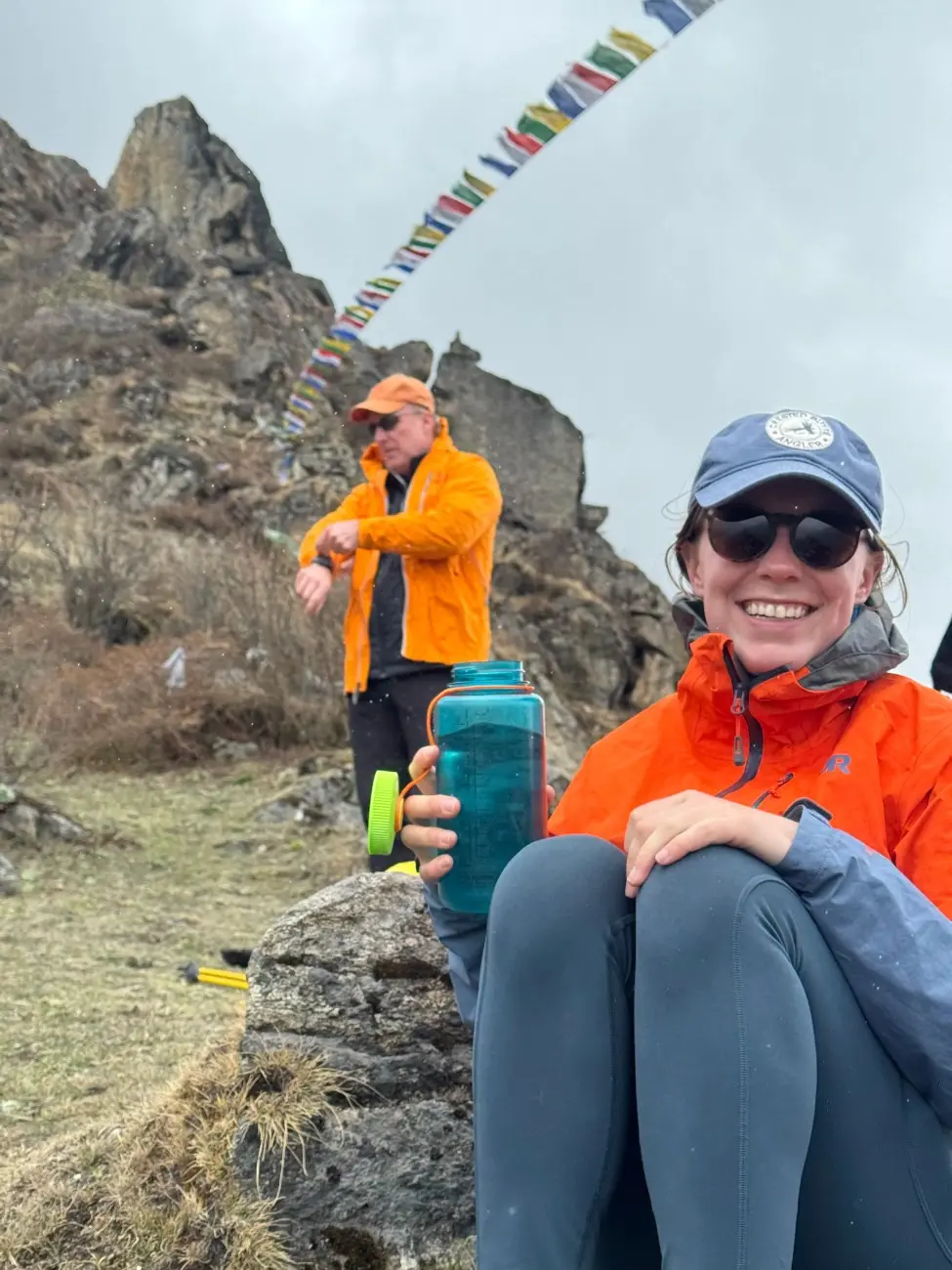
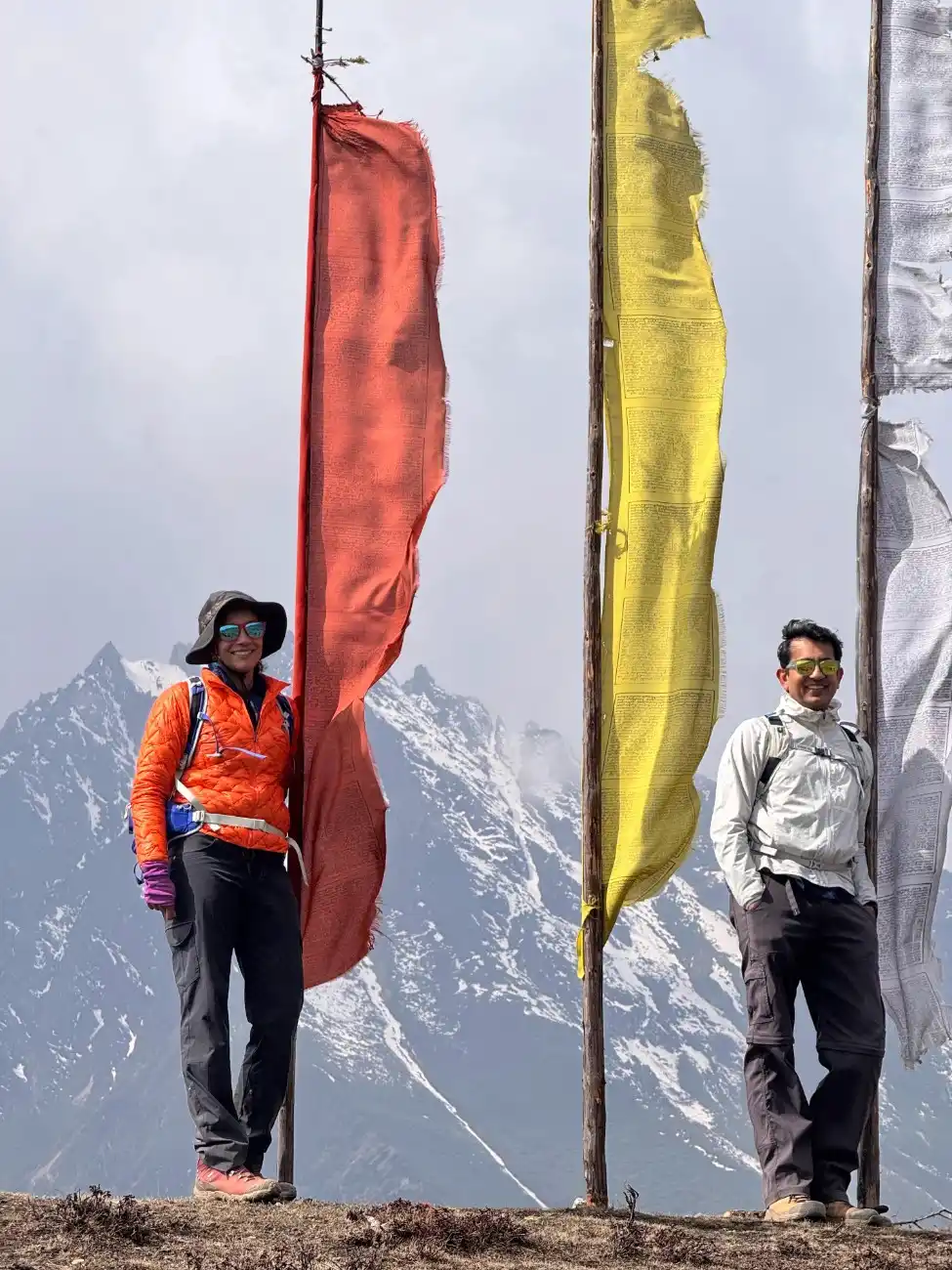
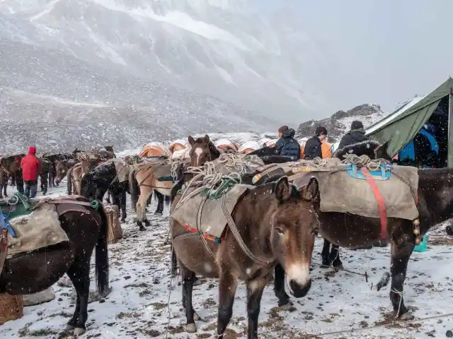
This route follows high passes and remote ridges. There are numerous crossings at or above 4,500-5,000 meters. The land here is raw and wild. The weather can change fast. On clear days, you see sharp peaks and long horizons. The walk takes you through the Lunana and Laya regions. Most paths are narrow. Some are rocky and steep. You need steady legs and a calm mind. The challenge is big. The beauty is even more. Many trekkers say that this route is life-changing.
Exploring Remote Villages like Laya and Thanza
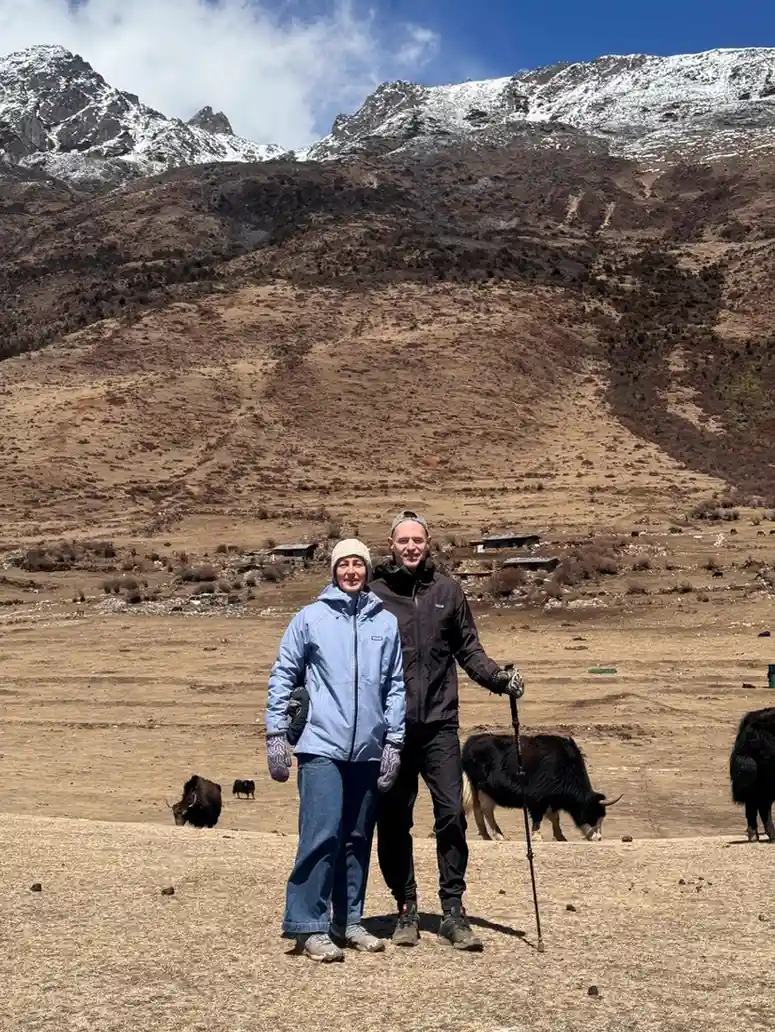
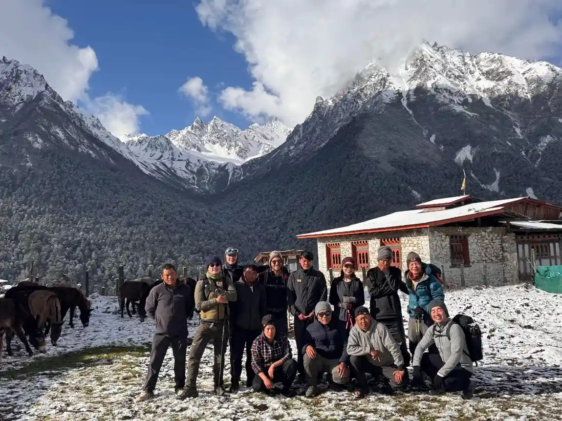
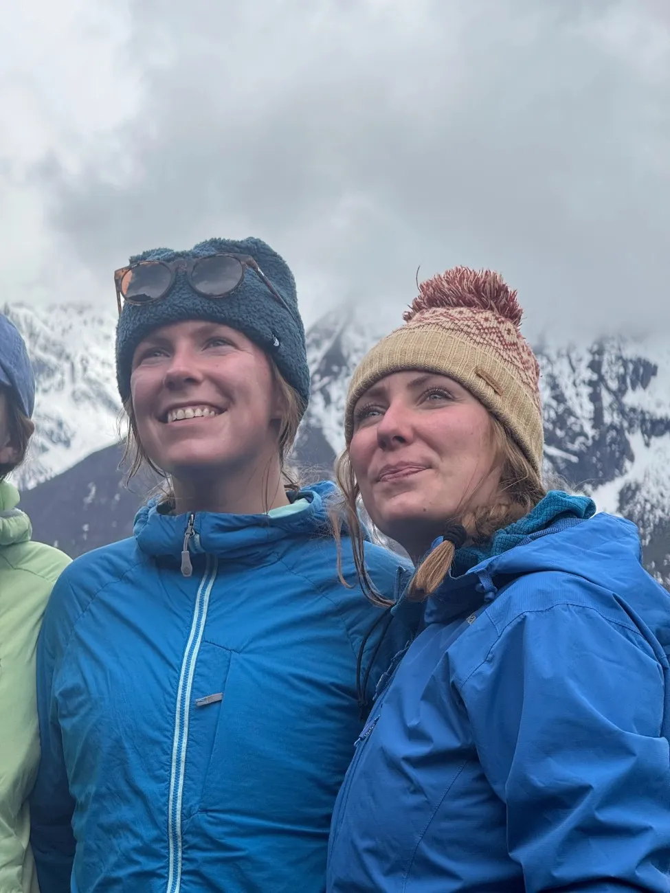
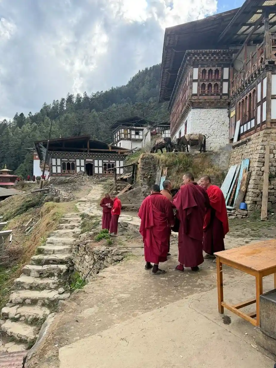
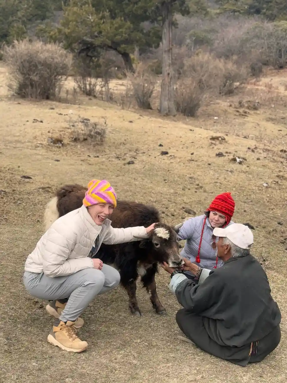
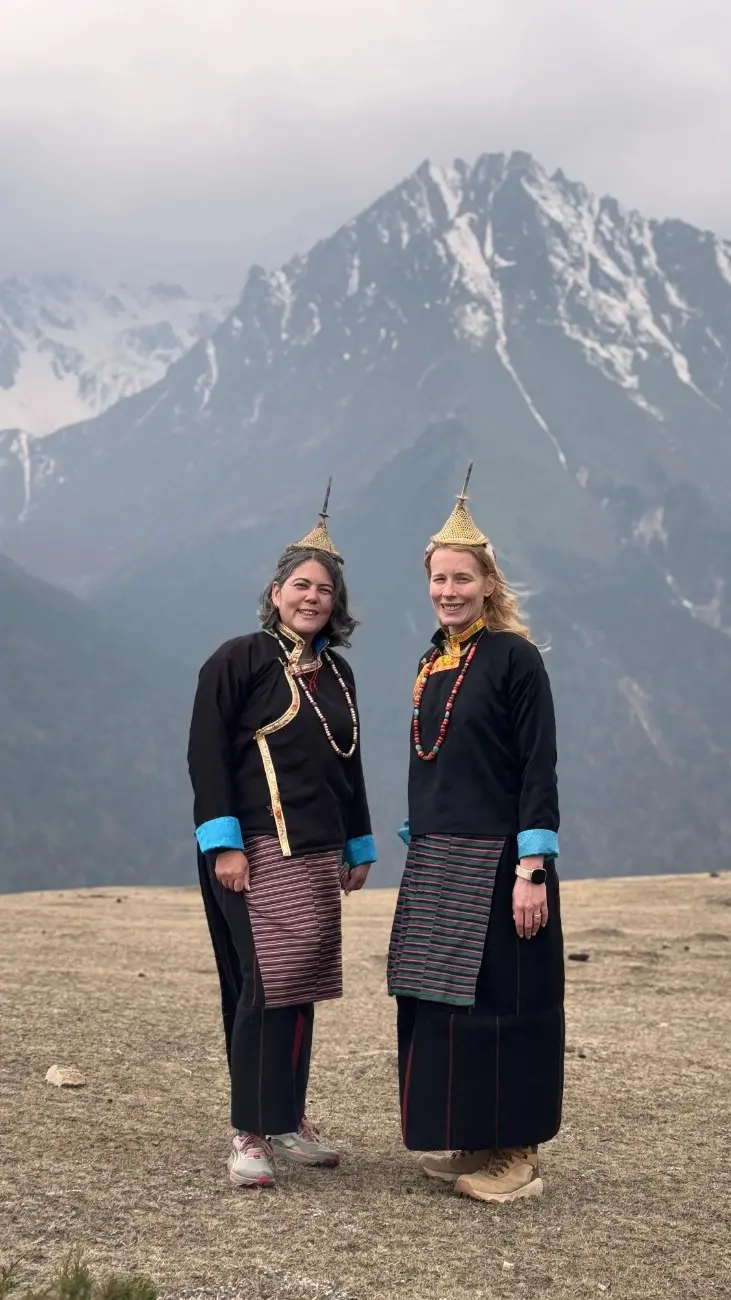
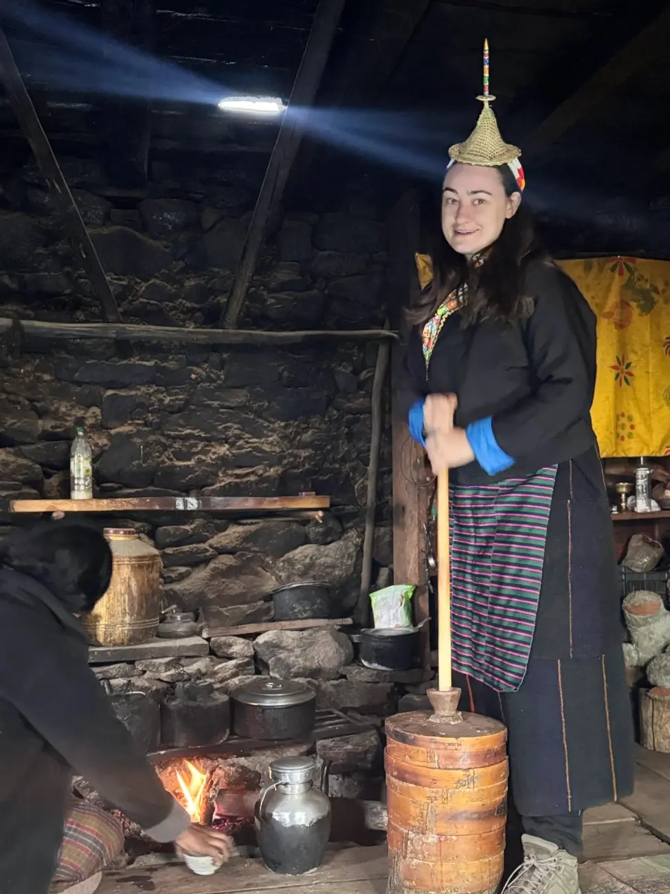
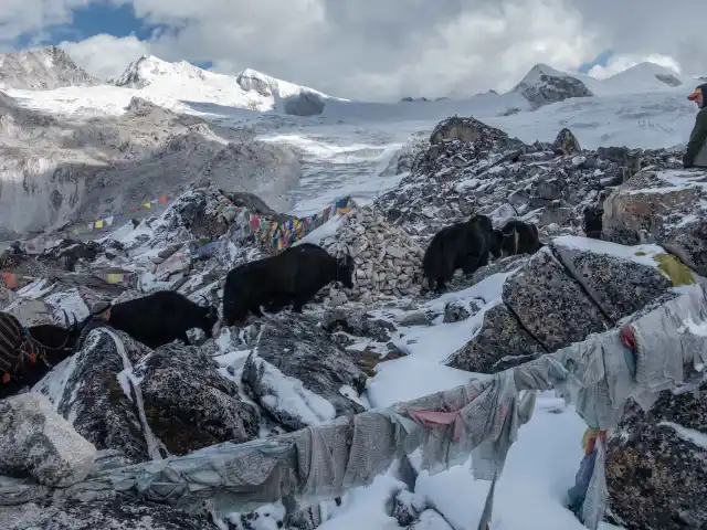
Villages on this trek are small and quiet. Laya is one of the most famous villages. There are also stone and wood houses. People in Laya dress in warm and woven garments and high hats. They rear yaks and cultivate barley in small fields. You might get to know how they live, and you may hear their tales. People are friendly. They may invite you for tea. Village life is slow. Vehicles and machines do not make much noise. The nights are full of stars. There are our professional guides who assist you throughout the tour.
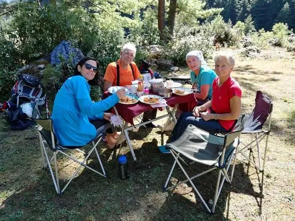
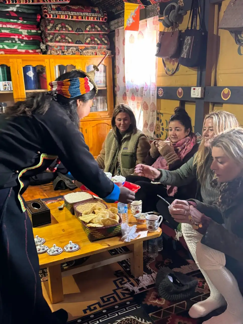
Enjoying Authentic Bhutanese Hospitality
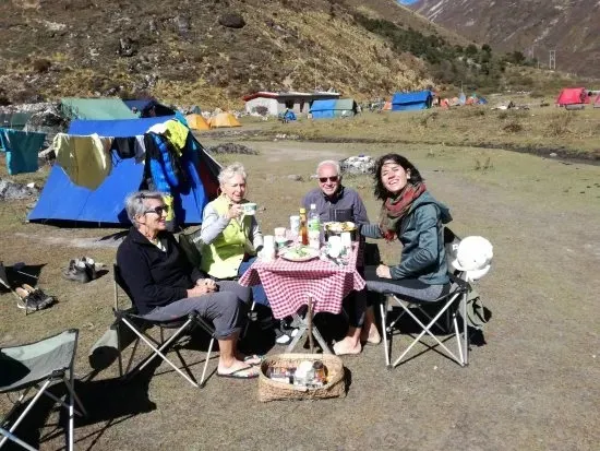
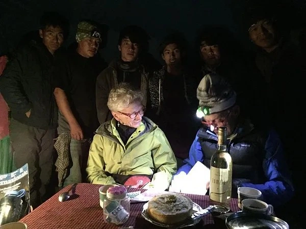
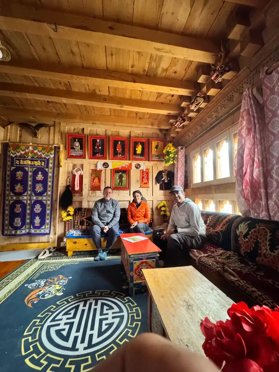
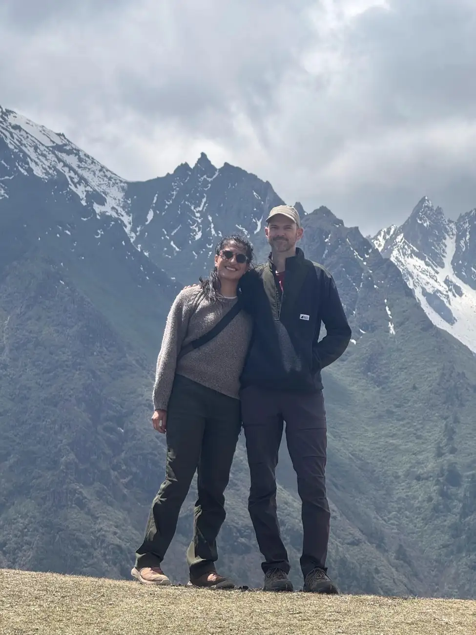
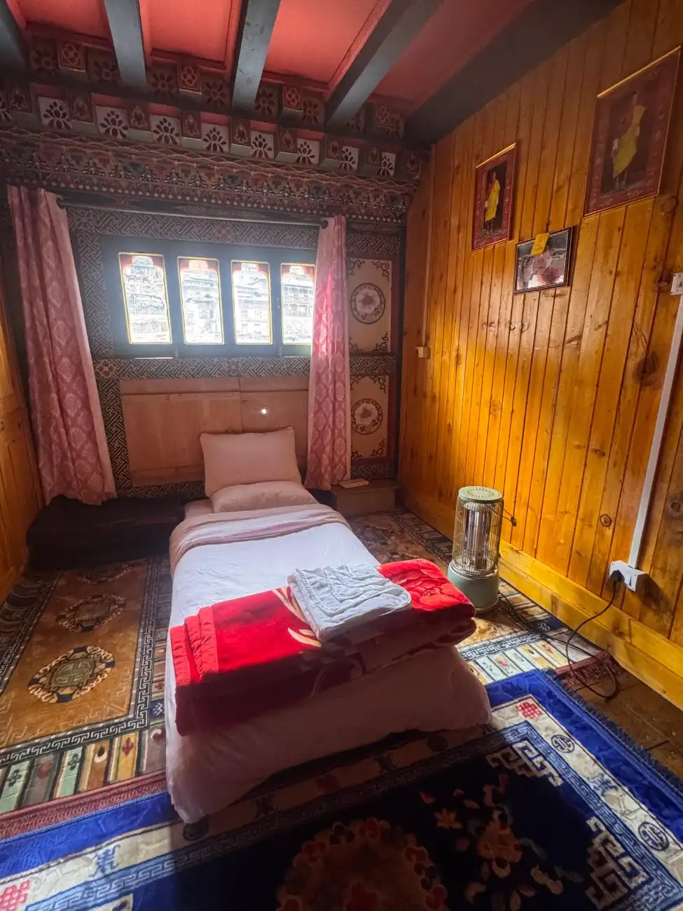
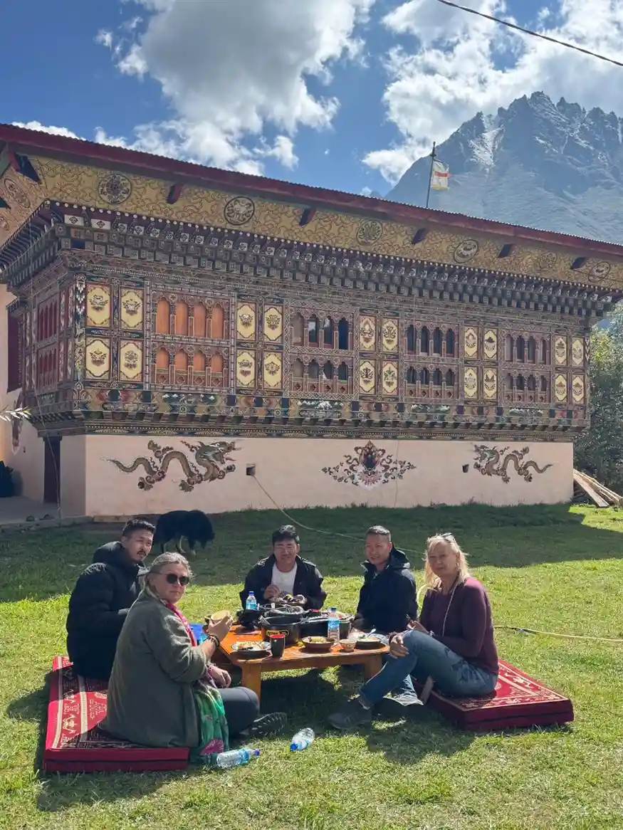
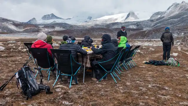
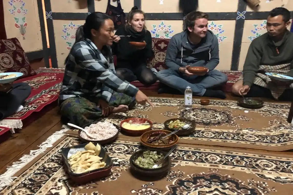
Bhutanese people are friendly. Simple meals are usually shared by the hosts in villages. Guests are treated with care. The guide helps you with translation and customs. You sleep in tents or small lodges. Meals are often cooked with local products. Hot soups and rice are common. After a long day, a warm meal feels very good. Respect and quiet manners are valued by people. You see small shrines and prayer flags at many stops. The culture here is gentle and slow. This same level of heartfelt hospitality is central to the Jomolhari Trek, where the path winds through remote mountain communities eager to share their traditional way of life.
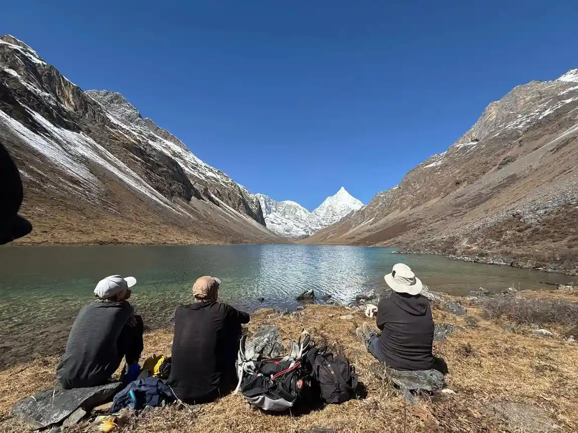
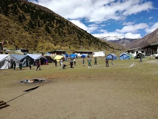
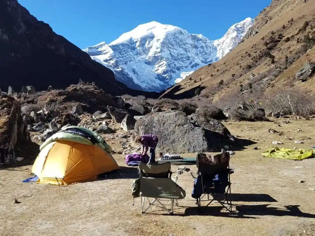
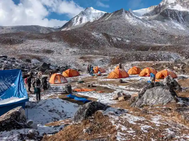
Camping in Pristine Alpine Landscapes
Camps are pitched in remote areas off the road. You rise to coolness and light of day. It can be a windy morning. Nights bring big stars and a wide sky. Camps are located near small streams or on soft grassy areas. Some nights, you may camp above tree line where only alpine plants grow. The tents protect you from wind and chill. Camp lets you feel the mountains from a close view. You get to know about local customs and myths.
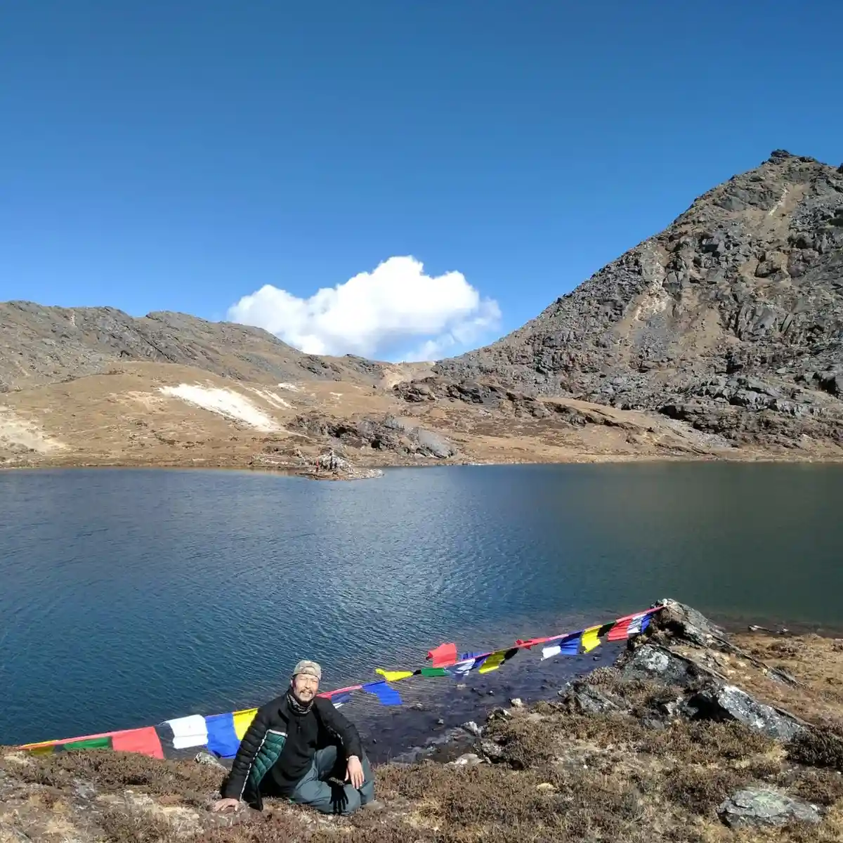
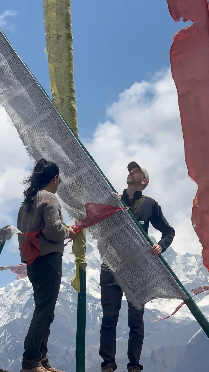
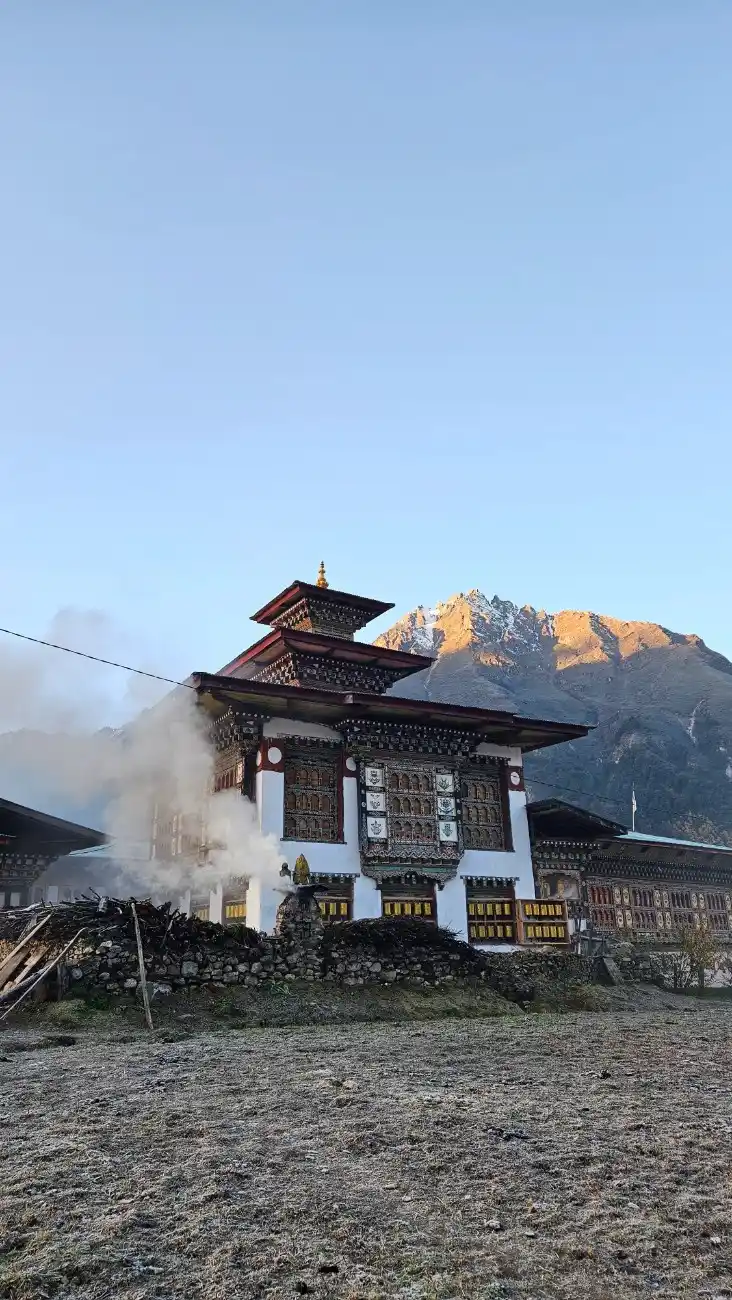
Visiting Ancient Monasteries, Chortens, and Spiritually Significant Places
There are a few monasteries and chortens along the road. These are sacred places for local people. Monks or villagers may come to pray. You can learn about local rituals and stories. Many spots have prayer flags and carved stones. These places add a quiet, spiritual side to the trek. They remind you that this is a lived-in and loved land. Nature combined with faith allows the visit to be more than just a walk. For those drawn to this blend of sanctity and scenery but seeking a shorter journey, the Bumdrak Trek provides a rewarding pilgrimage to sacred shrines nestled in the clouds.
Spotting rare Himalayan wildlife, birds, and vibrant alpine flora
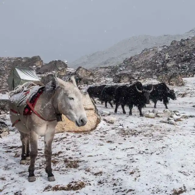
The area has rare animals and birds. You may see blue sheep, marmots, and red foxes. Bird life includes high-altitude species. During the summer, you may get to see the colourful Alpine flowers growing. You can see many plants and shrubs in spring and autumn. The places are wild and full of life. Staying quiet and moving slowly raises your chances of spotting animals. Guides know the best areas to look for wildlife and birds.
Why Is the Snowman Trail Called Bhutan’s Best-Kept Secret?
The Snowman Trek stays away from crowded places. It goes into parts of Bhutan that few visitors reach. The route winds along the northern border with Tibet. It crosses many high passes and isolated valleys. Roads and towns are far below. It requires many days to complete this trek and is a bit challenging. The remoteness keeps the land quiet and wild. You get to feel a rare sense of being in a place few eyes have seen. That is why many call it a secret. It is a secret not because it is concealed, but because a very few of the strong and patient travelers pass through it.
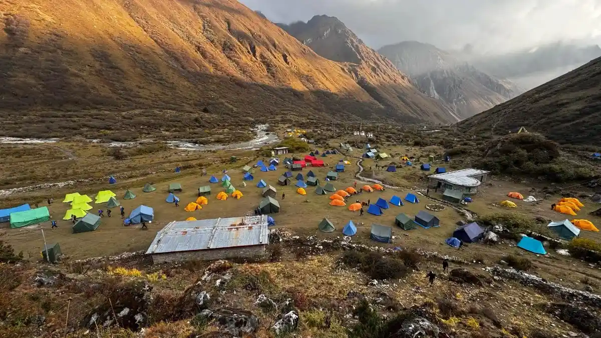
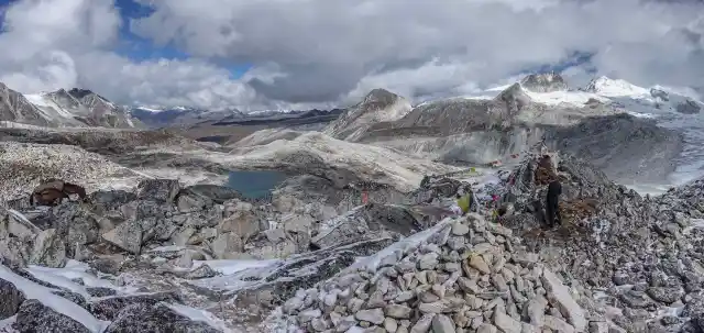
What Makes Each Camp Along the Route So Unique?
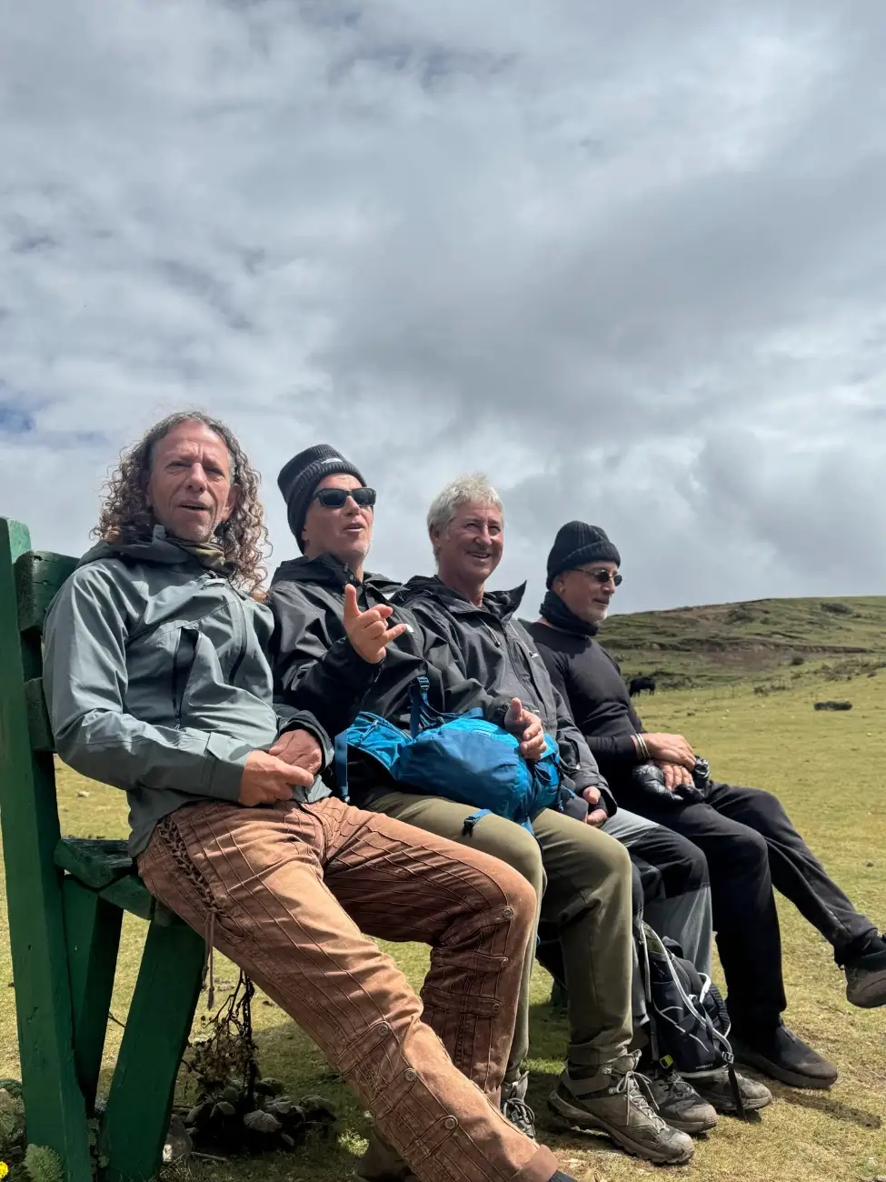
Each camp has its own unique atmosphere. Some camps are located in green meadows. They have views of distant peaks and herds of yaks. Other camps are high and cold. There you may sleep above the tree line with only stones and thin air around you. Some camps are close to small villages. At these spots, you get to hear village sounds in the early morning. Other camps are deep in quiet valleys with only birds and wind. The tents, food, and fires feel different at each stop. These shifts keep the days fresh. One night may feel cozy and warm. The next night may feel raw and open. This variety is part of what makes the trek so charming. Many trekkers look to the Druk Path Trek for a more accessible window into the region’s mountain passes, providing a remarkably compact experience of the high peaks.
What Awaits Beyond the Last Village on the Trail?
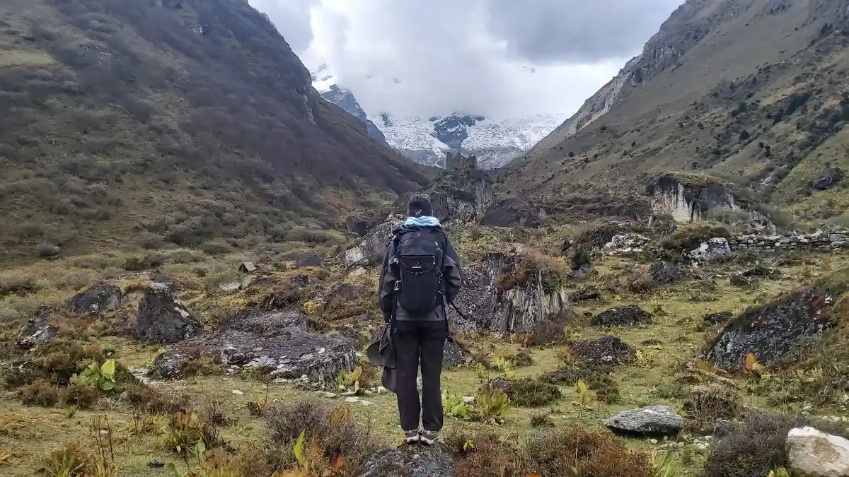
Once you leave the last village on the trail or path, you start moving into remote areas. You walk into a pure mountain and terrain. Fields and small houses give way to rock and snow. The paths will be narrow. There you will not find any shops or lodges. Food and help are far behind. You will feel a strong sense of solitude. The air is thinner and the sky looks closer. At times, you may cross glacial moraine or patches of snow. This part of the trek tests your strength and your calmness. It also gifts you with views and a quiet that is hard to find elsewhere.
Conclusion
The Snowman Trek is a deep and lasting journey. It asks for strength, patience, and respect. In return, it gives wide mountain views, rare wildlife, and real cultural moments. You will get to meet Layap people and stay in wild, quiet places. Each day brings small wonders and hard work. The trek also supports local people when run in a careful and fair way. Guides, porters, and local hosts make a significant contribution to land and cultural safety. You could not have a better vacation trip than this in the rough country with its long days, bare village living, and rugged nature. Train hard, plan it out, and go to the land and people decently. These memories you come back with, they stay for a long time. The path to success on this trail begins with the right information, and our Snowman Trek guide provides everything needed to navigate the challenges and rewards of this journey.
Short Itinerary
Arrive in Paro, short town walk, view Paro Dzong and National Museum, welcome dinner
Hike to Taktsang (Tiger’s Nest Monastery), explore Paro market and temples, prepare for trek
Drive to Sharna Zampa, meet trekking crew, trek start, camp at Soi Thangkha
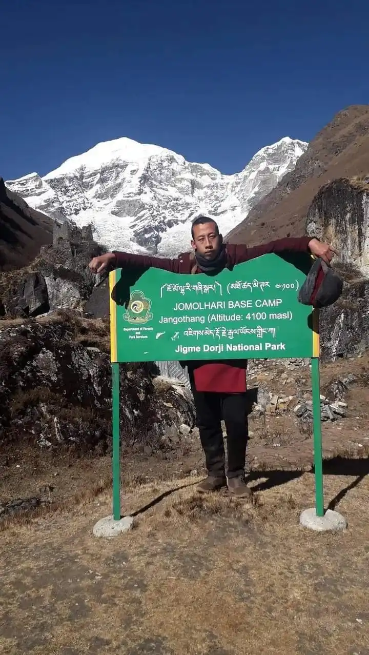
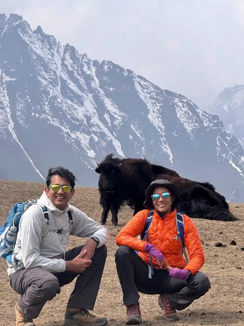
Trek through pastures and yak herders’ land, reach Jangothang camp with mountain views
Acclimatization day at Jangothang, short hikes and gear check, rest with valley scenery
Trek across meadows and valleys to Lingshi village, cultural encounters, overnight stay
Walk through forests and open slopes, river crossings, camp at quiet Chebisa
Trek along meadows and streams, reach Shoumuthang with wide mountain views
Rocky trail and ridges, careful footing, starlit night at Robluthnag camp
Walk across ridges and valleys, visit Lingmithang village, meet locals, rest night
Trek to Laya village, cultural immersion with Layap people, lodge/camp overnight
Descend through alpine flowers and streams, camp at peaceful Rodophu
Trek through forests and fields, village stop at Narithang, simple lodging
Cross alpine landscapes and streams, camp overnight at Tarina
Trek along ridges and valleys, cultural stop at Woche village, overnight rest
Gentle forest trail to Lhedi village, farming community stay, recovery day
Short trek to Thanza, explore village and architecture, peaceful night
Rest day in Thanza, short walks, cultural visits, gear check and recovery
Trek through valleys and ridges, scenic camp at Tshochena
Steady climb and ridge walk, overnight stay at Jichu Dramo
Rocky trail through alpine meadows and streams, reach Tshendang, warm evening soup
Final trek day to Sephu, descend through forests and farms, lodge rest
Drive from Sephu to Punakha, visit Punakha Dzong, overnight stay
Drive Punakha to Paro via Dochula, last shopping and departure flight
Price Includes
- Pick-up and drop-off services
We provide a pick-up service from the airport to the hotel on your arrival day and from the hotel to the airport on the departure day.
- Lunch, Breakfast, and Dinner
All meals during the trek will be provided by the company. However, personal food items like coffee, tea, cold drinks, etc, are not included in the package.
- A guide proficient in English
A certified, English-speaking guide will accompany you throughout the trip. The guide will offer information about the trail, culture, nature, and history, and ensure your safety and a smooth experience.
- Comfortable SUV vehicle
A private SUV will be used for road travel before or after the trek. These vehicles are ideal for Bhutan’s hilly terrain and provide a comfortable ride.
- All types of entry costs
This covers all permit fees, monument entrance fees, park fees, and any other official charges required for trekking or sightseeing activities during the tour.
- Professional Drive
We ensure a safe and smooth drive during your tour. We have licensed and experienced drivers for that.
- Sleeping bag and tent
Quality sleeping bags and tents are provided for your comfort and warmth during the camping nights on the trek. So, you don’t have to worry about buying a new one.
- Farewell dinner
A special farewell meal, typically arranged in a traditional restaurant, is offered at the end of the tour to celebrate the journey and thank the participants.
- Evening Tea/coffee with snacks
Each evening, you’ll be served tea or coffee along with light snacks like biscuits and popcorn.
- Drinking Water
Safe and clean drinking water is provided throughout the trek.
Price Excludes
- The price of a visa and an international flight
- Overage luggage charges
- Travel and health insurance
- Porter if necessary
- Tip for porters and guides
- Any kind of drink
Snowman Trek Itinerary
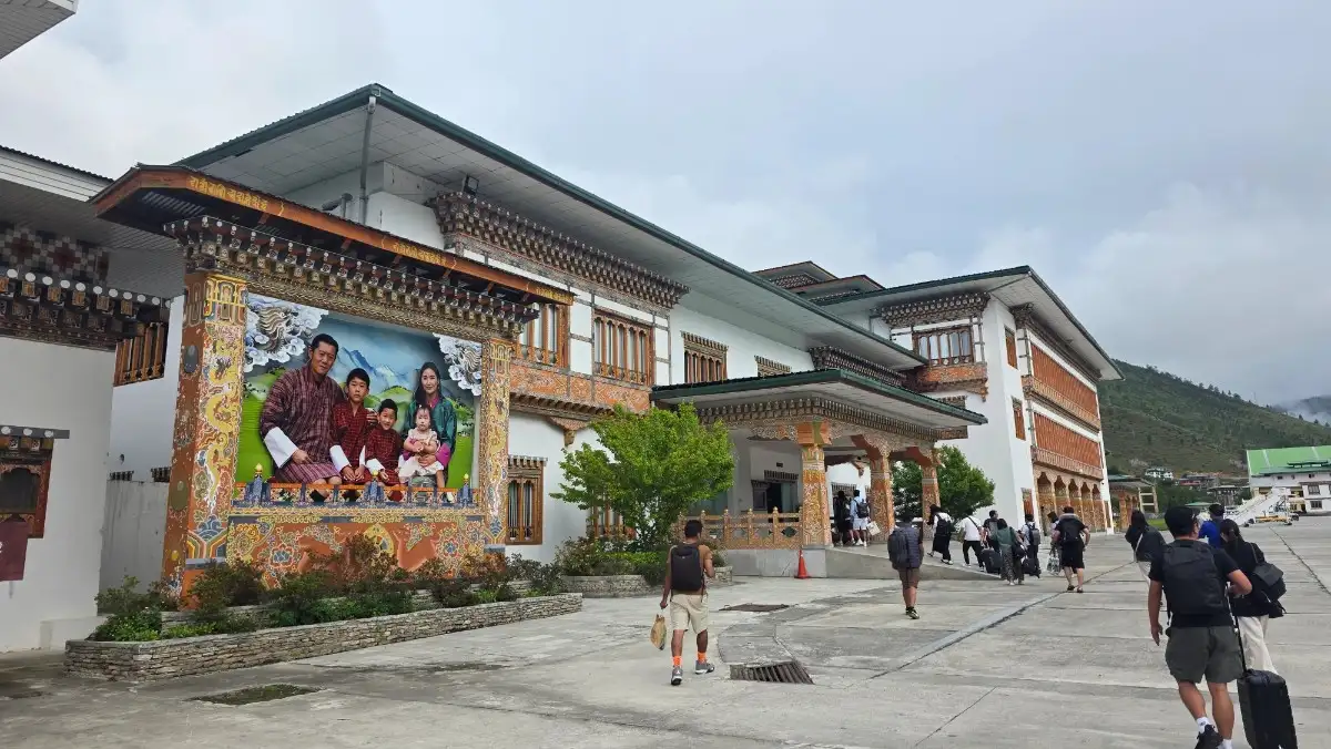
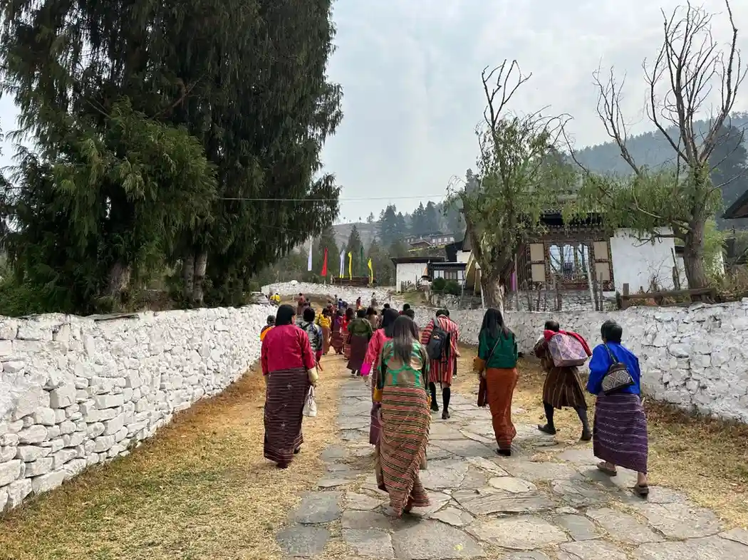
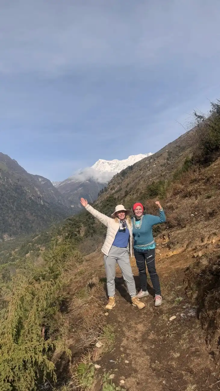
You land at Paro and meet our company members at the airport. They help with your bags and lead you to the vehicle. Then you drive to your hotel. You check in and rest for a while. Drink water and move gently to help with the change in height. Later, you take a short walk in Paro town. The streets are calm. The local souvenirs and snacks are sold in small stores. When time permits, you have an opportunity to view the outside of the Paro Dzong or the National Museum. In the evening, the guide gives an orientation talk. You discuss safety, the plan, and group rules. A simple welcome dinner is served. Sleep early and get ready for the first hike.
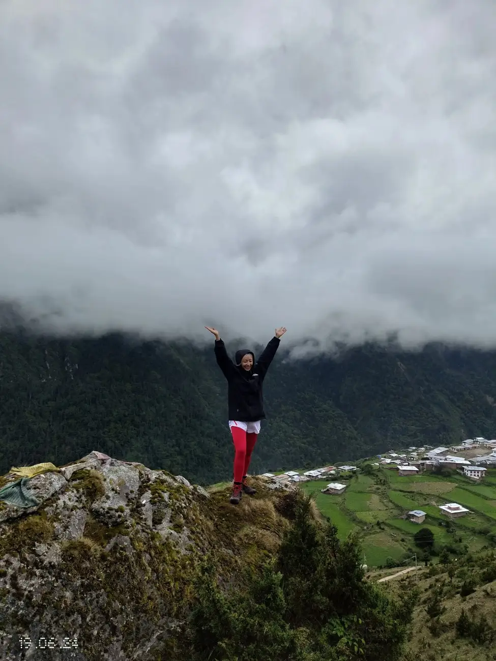
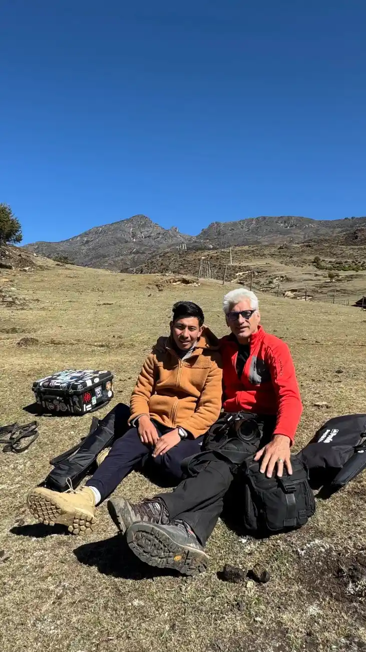
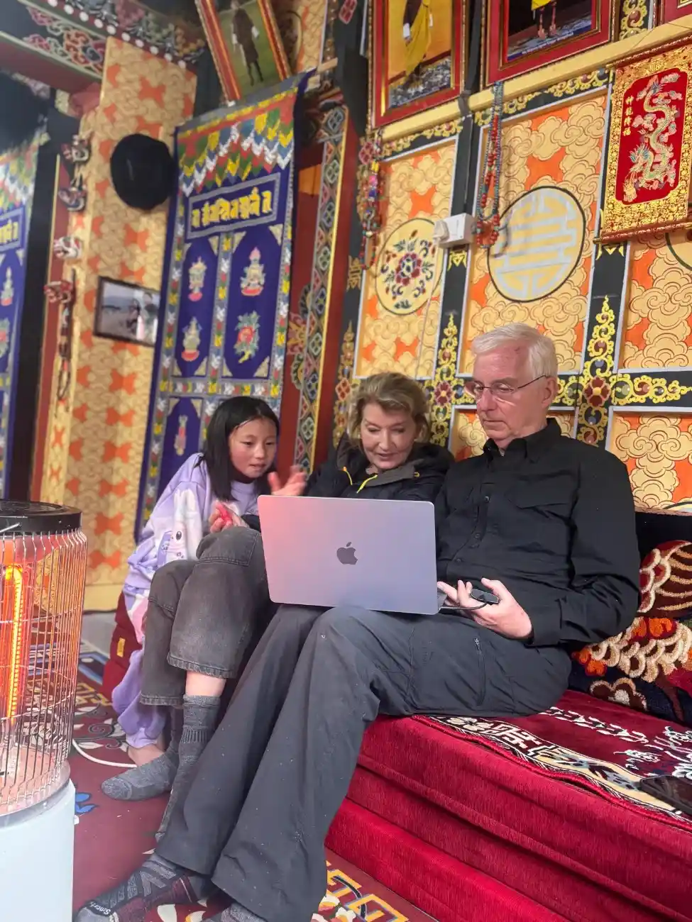
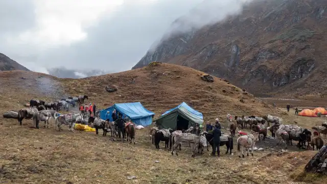
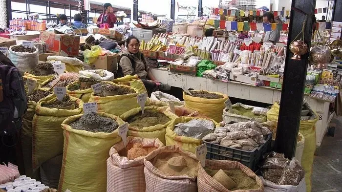
Gallery
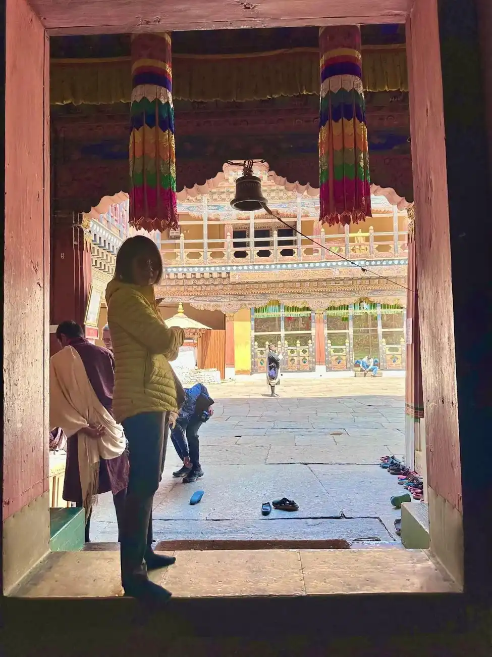
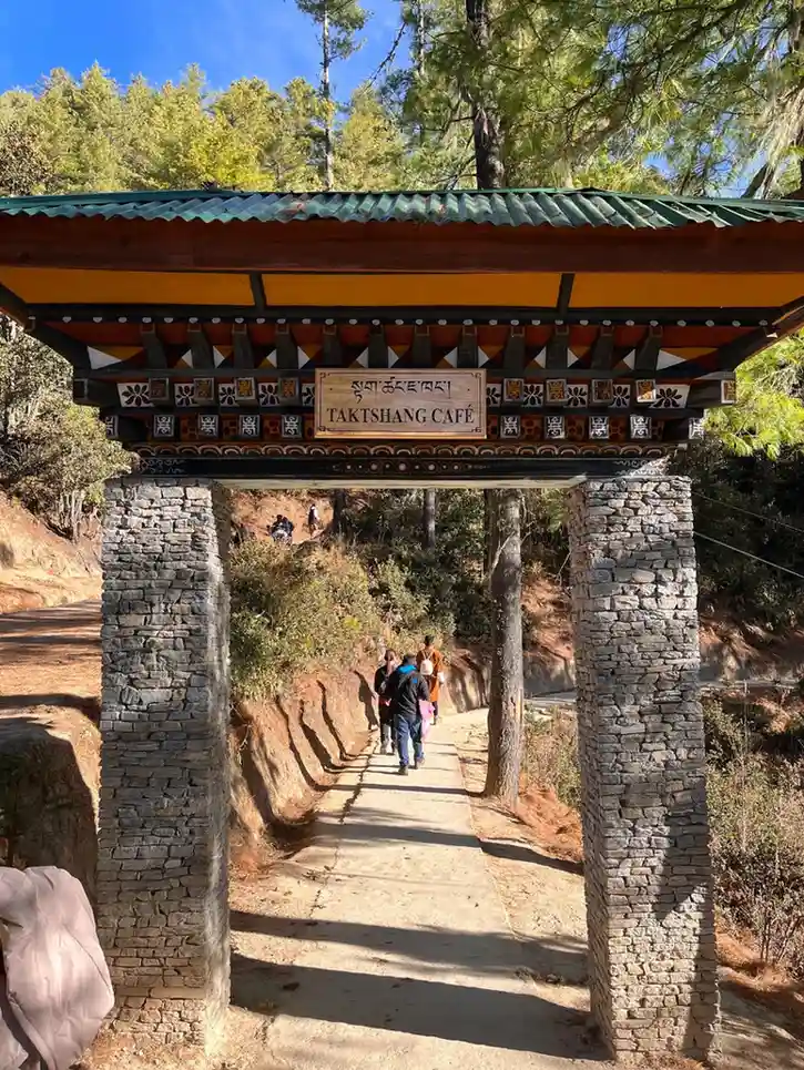
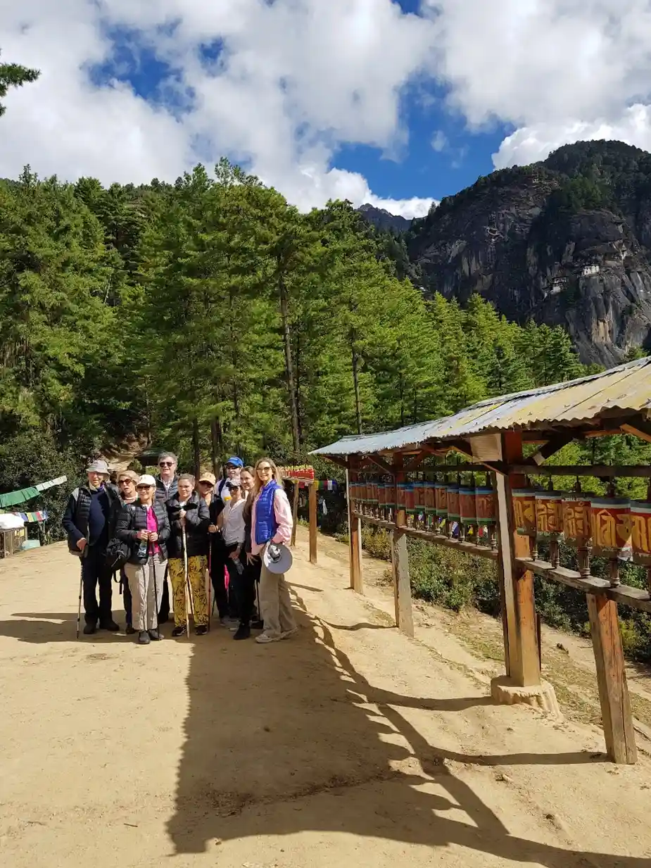
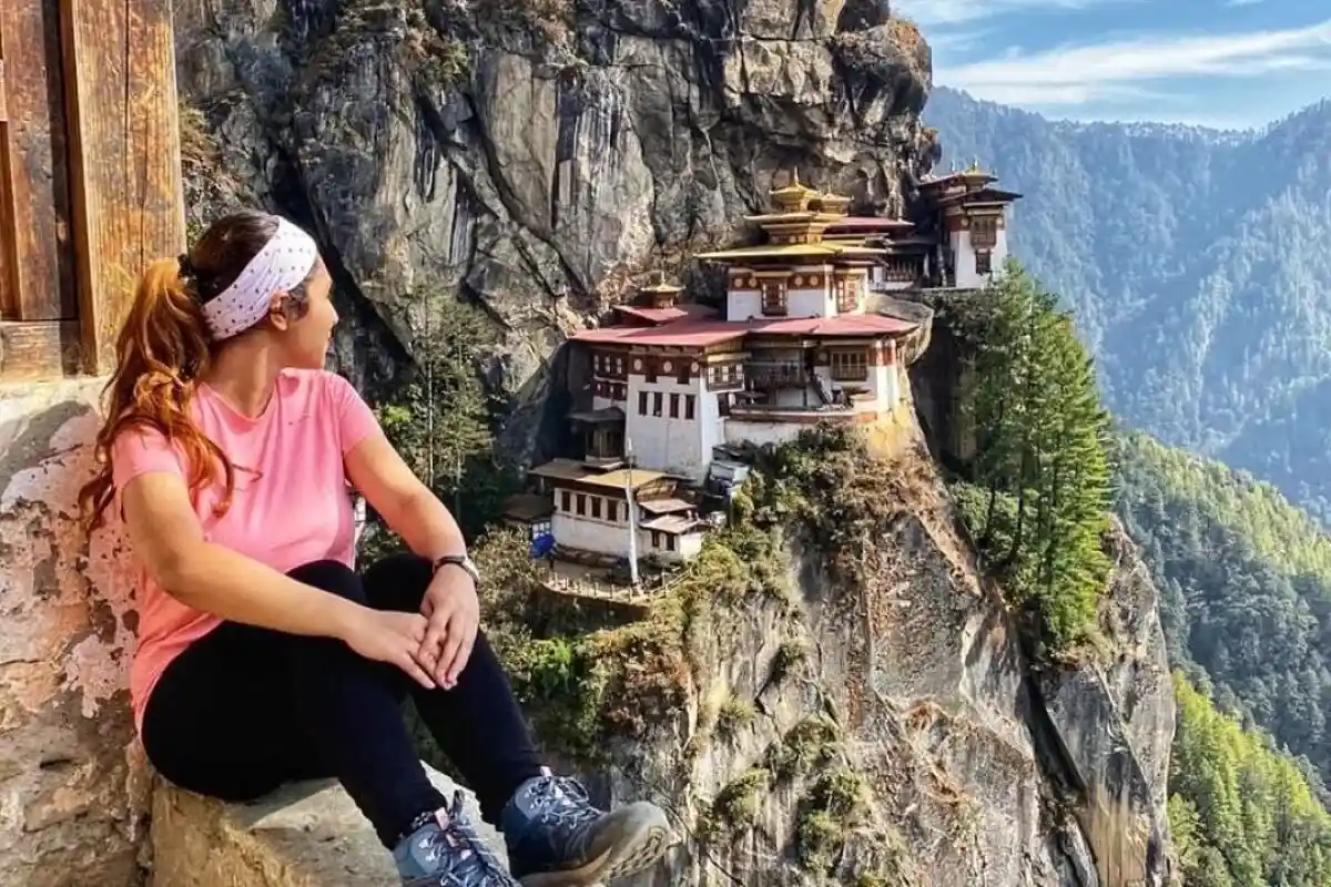
After breakfast, you will go to Taktsang. This site is also called the Tiger’s Nest monastery. The path climbs steadily with many steps. You can have a rest and enjoy the views of the valley. The monastery sits on a cliff and feels very close to the sky. You get to spend quiet and calm moment. After the visit, you walk back down and return to town. The afternoon is free to look around Paro market or to visit small temples nearby. Here, utilize your time to pack stuff, to check boots, and possibly do final shopping for the upcoming days. Keep a lot of water and food. You spend tonight at Paro, and rest up to drive to the trailhead the following day.
Gallery
Early morning, you drive toward the trailhead at Sharna Zampa. The road ascends and presents mountainous scenery on the route. At the trailhead, you join up with the trekking crew and porters. The first walking day is short and gentle. The path is easy and gives time to warm up. You cross small streams and pass prayer flags. The group keeps a steady, slow pace. That night, you camp or stay at a simple guesthouse in Soi Thangkha. After you have a warm dinner, sleep well. Take pleasure in the calmness and in the clear sky.
Gallery
On this day, the walk goes higher into open alpine areas. The path climbs, and the air feels a bit thinner. You pass small pastures and see herds of yaks or sheep in summer. The views open as you gain height. Walks are steady and paced to help your breathing. There may be small prayer stones and chortens along the way. You arrive at Jangothang, a wide pasture where animals graze. This spot is calm and bright. You set up your camp or stay at a basic lodge. The evening is for rest and to take in the wide mountain views. Have a nice dinner and go to bed early to save energy for the next day.
Gallery
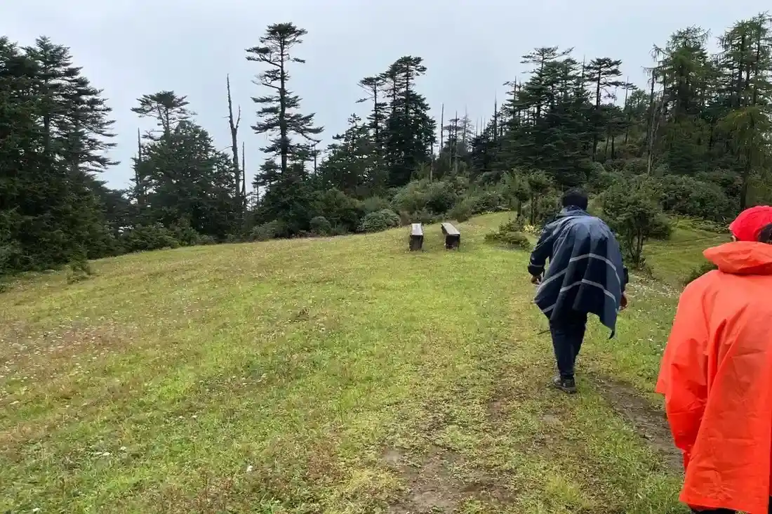
This is a rest day for your body to adjust. You do short walks around camp. The easy walks help your lungs and legs without tiring you. You can visit the nearby meadows and small streams. Guides often show short local routes with good views. Spend time talking with the team and learning about local life. Keep your pace slow and drink water all day. In the afternoon, relax and check your gear. Acclimatization helps prevent altitude problem. Enjoy this day around quiet surroundings, take photos, and rest well. Even short walks can bring beautiful views at this height.
Gallery
You begin this day with steady walking that slowly leads toward Lingshi. The trail moves through alpine meadows and small valleys. You may cross small streams and step over rocky ground. Parts of the route are gentle, and parts are steeper. Lingshi is a small, quiet village with stone homes. People here graze animals and live simply. The village offers a chance to meet locals and to learn about their day. You spend your night in a guesthouse or nearby camp. The evening is calm, and you have time to rest your feet. Prepare for a few longer walking days ahead.
Gallery

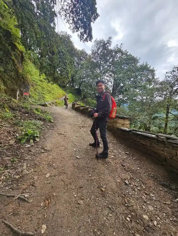
You walk on this day over a mixed ground with forests and open slopes. There are ups and downs and some river crossings. You stop often to rest and to take photos. The landscape feels wide and remote. Birds and small animals may appear along the trail. Chebisa is a quiet place for the rest. The evening is for drying gear and sharing stories. Keep your steps steady and do not rush. The steady pace helps your body and keeps the group together. You camp in Chebisa, as there may not be local or guest houses.
Gallery
This day continues into high valleys and long meadows. The route feels open and often winds beside small streams. You may pass small herders’ huts and prayer stones. The air is clear and the light is bright in the day. Walking at this height needs steady breathing and slow steps. Shoumuthang is a calm camp spot with wide views. Set your camp for an overnight stay in Shoumuthang. Evenings are quiet, and the stars are sharp. Keep warm layers ready for a cold night. Eat well and rest to keep energy for the hard sections ahead.
Gallery
You head deeper into the highlands today. The trail may be rocky at times and requires careful steps. You cross small ridges and may pass places with loose stones. The route offers wide views of distant peaks. Walking with poles helps on uneven ground. Robluthnag is a remote camp spot with little light pollution. It is very quiet at night and the sky is full of stars. Enjoy a hot supper with fellow travellers and inspect boots and socks before bed. The day can be long, so keep energy with snacks and short rest breaks.
Gallery
This day brings many broad mountain views. You walk along ridges and across small valleys. The path has some ups and downs, but feels steady. You may pass little shrines or prayer flags. Lingmithang is a small settlement where you can meet local families. The village shows traditional houses and mountain life. This stop gives a calm night after several full walking days. Rest early and prepare clothing for the higher, colder nights ahead. Keep your mind steady and enjoy the quiet of the mountains as the group bonds over the day.
Gallery
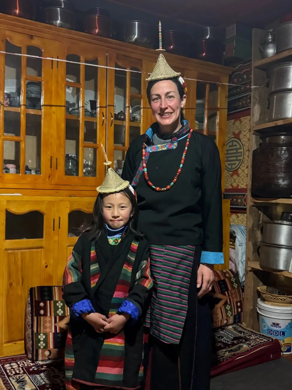
On this day, you reach Laya village. The path goes through high meadows and narrow trails. Laya is one of the region’s most important cultural stops. The Layap people live here and keep yaks and small fields. They wear unique hats and warm textiles. You meet local people and learn about their food and crafts. Lodge or camp in the vicinity of the village. Adhere to the local rules and take the photos if they allow. The village has a calm feel and strong mountain views. Spend time listening to stories and learning about daily life from friendly hosts.
Gallery
After the cultural time in Laya, you begin a downhill journey. The descent is gentler, still needs care on the feet. The path goes through alpine flowers and small streams in season. Rodophu is lower and feels greener in the summer months. This day allows your body to recover a bit from high passes. Camps here are peaceful and near small fields or huts. Take pleasure in the lighter air and the noises of an approaching village. Take time to thank local hosts and the crew for their help. Prepare for the next stage as the trek continues onward.
Gallery
You walk through more settled valleys and small hamlets today. The trail passes through beautiful forest and open fields. Birds are more common here if you move quietly. Narithang offers a chance to meet families and to see small farms. The lodging is simple and warm. The day feels like a gentle rhythm after high alpine sections. Use the quieter hours to sort laundry and to check equipment. Talk with your guide about the route ahead and any weather updates. Sleep well and keep your body fuelled for the next high passes.
Gallery
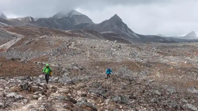
This day, you cross open alpine landscapes with broad views. The trail may be exposed to the wind at places. Walk with care and keep a steady pace. You pass across small streams and grassy slopes. Tarina is a night stop for today. You spend overnight in a tented camp. Use the evening to enjoy a hot meal and to rest muscles. The views at sunset on clear days are often very striking and make the walking feel worth it.
Gallery
Today, you walk across scenic ridges and wide valleys. The path goes up and down but keeps a pleasant rhythm. You may meet local herders grazing animals in season. The hilltops give wide views back to the high passes you have crossed. Woche village offers a warm, quiet night. Locals may share simple stories about the land. Enjoy the calm evening and prepare clothing for cool nights. Keep your pack organized and check food supplies. Small comforts around camp help morale, like a warm drink or a dry shirt.
Gallery
This is a calmer walking day with more vegetation and small hamlets. The path slowly descends and moves through forested stretches. Lhedi is a small farming community and feels like a shelter after hard days. People tend fields and keep animals. The camp or guesthouse here feels homely. Spend time talking to your fellows and enjoy your food. Dry boots by the fire if needed. This quiet day helps both body and mind recover. Prepare for the final runs of the trek and check any needed supplies for the last week.
Gallery
A short walking day brings you to Thanza. The trail is gentle, and the village life is visible along the way. Thanza has traditional Bhutanese houses and small chortens. Walk slowly and enjoy the small lanes and the way people live. This is a good day to learn about local architecture and to visit a shrine if the opportunity arises. The night is peaceful and a good time to reflect on your trek so far. Rest well and keep your kit ready for the rest day that follows.
Gallery
A full rest day helps you recharge before the last mountain sections. You may walk short, easy routes near the village. Visit a local family or a small shrine. The rest gives time to sort photos, dry gear, and mend small problems with clothing or boots. Guides can provide cultural lectures or demonstrate the sites of local things of interest. Take time to relax, drink water, and eat food. A calm evening in Thanza helps you prepare mentally for the final, longer walking days.
Gallery
This day, you move across green valleys, small ridges, and pastures. The terrain feels open, and the air is fresh. Keep a steady pace and take short rests. Tshochena is an isolated campsite that has beautiful scenery. The camp is often near a small water source. You can share stories with your mates and enjoy. The peace and sky make the walk feel special despite being tired.
Gallery
This day brings long views and some steady climbs. The path may be rough in parts, so careful footing is needed. You feel the final stretch of the big trek nearing its end. Jichu Dramo has a simple place to stay and gives time to clean up and pack. Tonight is a good night to celebrate small wins with the crew and group. Rest and prepare to drive back to Paro the next morning. Have a warm meal and sleep after a long day.
Gallery
On this day, you will have breakfast at Jichu Dramo. Then get your equipment ready and continue your trek. The trek direction is downward, and then up a bit. You will cross the alpine meadows, little streams, and flags of prayer. The ground is often rocky, so you have to be careful. The views change often. Peaks appear and then hide behind ridges. You may encounter a herder or children from a nearby hamlet. It is a quiet walk and allows time to think. By mid to late afternoon, you will reach Tshendang. Have a warm soup and talk with the crew. This day ends with a good night's rest.
Gallery
This is your last trekking day. Begin with a steady pace and slower steps. The path moves through mixed forest and open fields. You will pass across small farms and terraced plots near villages. The sound of the river grows closer as you descend. Guides point out local plants and small sights along the route. As you reach near Sephu, you will see more signs of road and village life. The final approach feels different from the high camps. When you reach Sephu, the trekking ends. Have a rest in a simple lodge and breathe easy.
Gallery
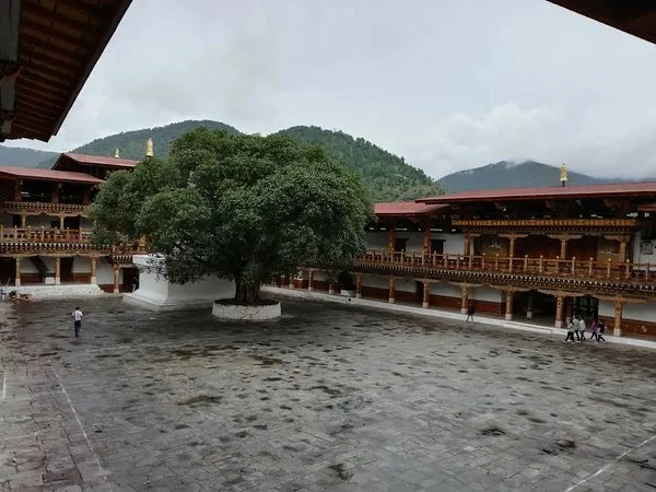
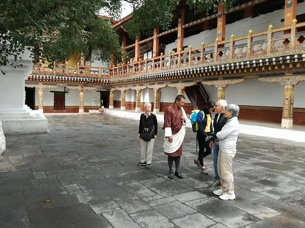
After having a breakfast, you will leave Sephu. The road winds down through valleys and along rivers. The drive can be long, but the views are calm and green. You may pass through small villages and narrow bridges. After days of walking, you can have a rest while driving. Along the way, you can visit the local viewpoints or small shops. The road goes to Punakha, and down the way, you see a valley. Punakha town sits where two rivers meet. In the afternoon, you will arrive at Punakha. You can visit the popular Punakha Dzong by the riverside, if you have time. The dzong is a fabulous place and a quiet one to walk. Spend the night in Punakha and have a goodnight's sleep and warmer rooms.
Gallery
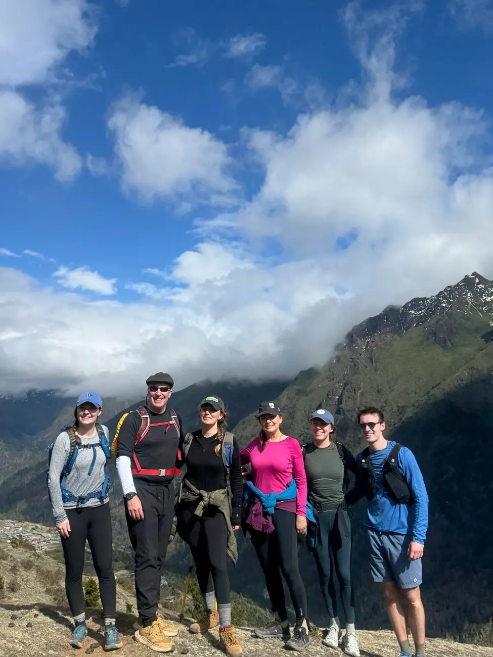
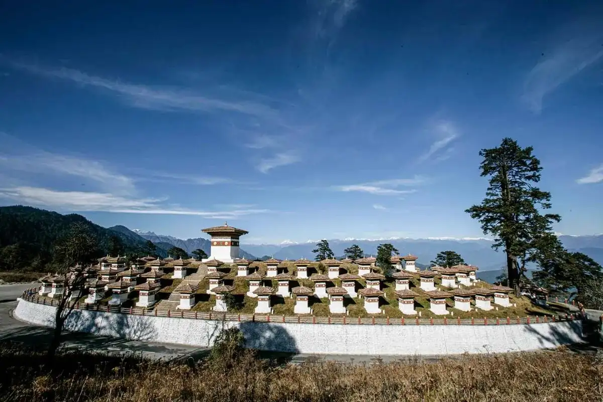
This is your final day. After breakfast, you will leave Punakha for Paro. The drive goes over mountain roads and may pass the Dochula area. Stop for views if the sky is clear. On the way, you can see terraced fields and small farm villages. Arrive in Paro in the afternoon. Use spare time to wash, pack, and buy any last mementoes. Your guide will help with the transfer to the airport as per your flight time.You will then depart from Paro. Bring with you the silence of mountains and the little friendships you made along the trail.
Gallery
Know Before You Travel
-
Know more about the trek:
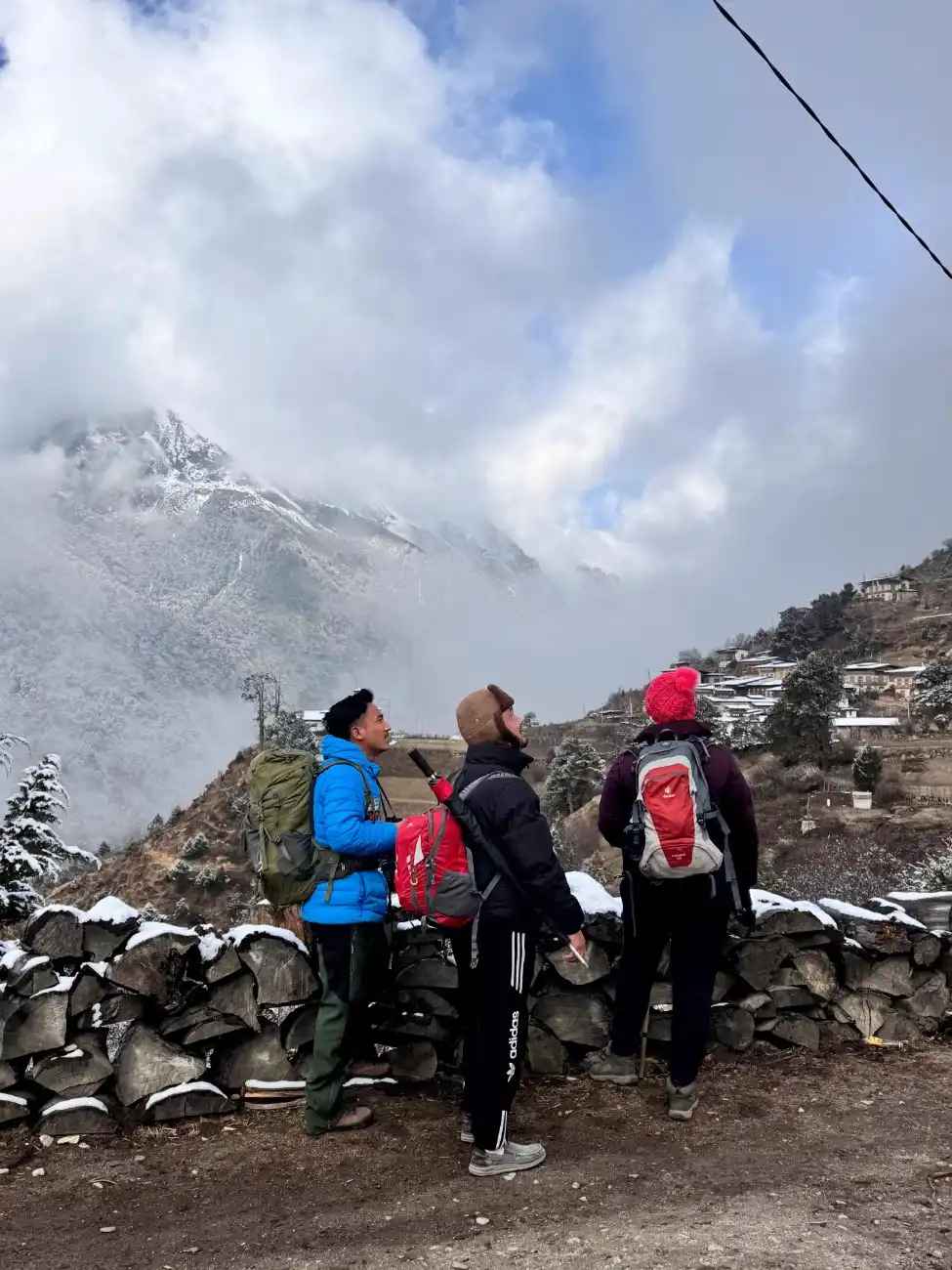
Each camp has its own unique atmosphere. Some camps are located in green meadows. They have views of distant peaks and herds of yaks. Other camps are high and cold. There you may sleep above the tree line with only stones and thin air around you. Some camps are close to small villages. At these spots, you get to hear village sounds in the early morning. Other camps are deep in quiet valleys with only birds and wind. The tents, food, and fires feel different at each stop. These shifts keep the days fresh. One night may feel cozy and warm. The next night may feel raw and open. This variety is part of what makes the trek so charming.
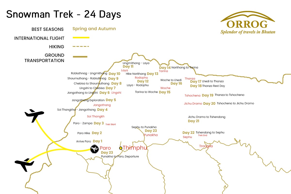
Snowman Trek Bhutan Map
Download
FAQs for Snowman Trek
The Snowman Trek is a very difficult one. You should have strong fitness and experience at high altitude. Long walking days, heavy packs, and rocky trails are common. Train with hills, long walks, and some days of multi-hour treks. If you have a prior experience on other high-altitude treks that will be a plus point. Unless you have medical clearance to do so, this trip should not be attempted in case of heart or lung conditions. Be honest about your fitness. This is not a walk that can be done by amateurs.
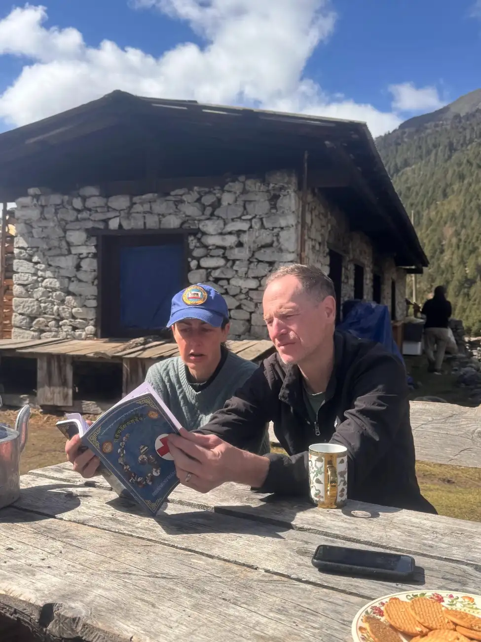
Guides watch for early signs of altitude sickness. They plan slow climbs and rest days. Drink lots of water and take food. Take a slow and steady walk and do not hurry. The symptoms are mild and the rest and making a slight step down. For severe symptoms, guides arrange descent and medical help. Many groups carry oxygen and first-aid gear. Still, prevention through slow pacing and good hydration is best. Request your guide to talk to you when you are not feeling well.
The weather can change fast. Days can be warm in the sun and cold in the shade. Nights are cold, often below freezing at high camps. Rain or snow can appear suddenly in the shoulder seasons. The best months are spring and autumn when the skies are clearer. Pack layers, from base layers to warm jackets. Carry a nice sleeping bag, one that keeps you warm when it is cold. Rain and snowproof gear are needed. Check weather predictions and do as the guide says.
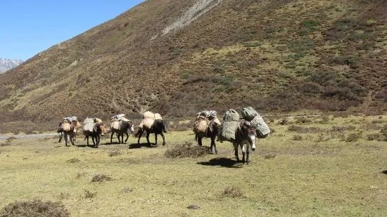
Yes, you can hire Porter.Porters are also used by local teams. You typically just have a waterproof backpack with snacks and a camera. The bigger bags and camping equipment accompany animals or potters. Discuss this with the tour company to confirm what is carried and what you must carry. For some high passes, animals may not be used, and porters might need to do more.
You need a visa and all necessary permits for your trip. These documents can not be received on the day of your arrival, so they must be processed before coming here. After you book a trip with us, we will manage these papers for you. Your Bhutan visa is arranged by Orrog as part of the package.
The main way to come to Bhutan is through Paro International Airport, which is well-connected to cities like Bangkok, Delhi, Kathmandu, and Singapore. Most people arrive by air, but if you plan to come via road, you can enter through Phuentsholing, located on the southern border with India, which is the most commonly used entry point.
It is recommended to apply for the visa at least 20 days before your planned departure date so that there is enough time for processing your Bhutan visa, finalizing your itinerary, and arranging your guides and transportation. Although visa processing itself is relatively fast once payment is received, early preparation helps avoid delays and ensures availability, especially during peak seasons (spring and autumn).
You don’t require a passport-size photo for the visa, but it is wise to carry at least 2–4 recent passport-sized photographs during your trip. These may be needed for local permits, registration, or when applying for a local SIM card upon arrival in Bhutan.
Yes, you can lengthen your stay in Bhutan either before or after your trip. Bhutan’s tourism model requires visitors to pay a Sustainable Development Fee (SDF) and a daily package cost, so any extra days will involve additional charges. Extensions are a great opportunity to explore cultural sites in Paro, Thimphu, or even add another short trip or day hike.
Yes, Bhutan requires full tour payment in advance before your visa can be processed and issued. The government of Bhutan regulates this policy to ensure that all travel arrangements are confirmed through a licensed Bhutanese tour operator. We are a licensed tour operator that ensures you have everything you need for a trouble-free trip.
Any personal expenses are not covered in the package like: Tips for your guide and other staff Bottled drinks and snacks(personal expense) Souvenirs or local crafts
Credit cards are easily accepted in major cities like Paro and Thimphu. But in remote areas, you may not have access to a card or an ATM. So, it is best to carry some cash before heading for the trip.
Tipping is not mandatory, but it is a widely appreciated gesture and a customary way to show gratitude for good service. The tipping guideline would be to give USD 5-10 per day as a tip for the guides and other staff.
Paro International Airport is the only international airport in Bhutan. It is well connected by flights from cities like Bangkok, Delhi, Kathmandu, and Singapore.
Yes, airport pick-up and drop-off are included in the package. We will have your guide and driver meet you at the airport and transport you to your hotel.
While Bhutan's roads are mostly paved, some parts are narrow, winding, and occasionally affected by weather. However, we ensure your travel is safe, well-maintained, and driven by an experienced professional throughout the journey.
The Bhutanese Ngultrum is used in Bhutan. All local transactions during the trip will be in BTN.
US Dollars (USD) are generally accepted at larger hotels, souvenir shops, and tour operators, particularly in Paro and Thimphu. However, it’s advisable to convert your currency to BTN for general purchases in rural areas. Other currencies like the Euro or the Pound are not commonly accepted directly.
No, credit or debit cards are not accepted on the trip, as it takes you through remote regions with no banking or electronic payment access. All trip-related payments like accommodation, meals, permits, etc, are paid in advance.
You can exchange foreign currency at the Paro International Airport, at banks, or through licensed money changers in cities like Thimphu and Paro. It's best to exchange enough cash before heading out on the trip.
The national language is Dzongkha, but many Bhutanese also speak English. If you speak English and are worried about communicating with the local people, you will have your guide as a translator.
Yes, all licensed tour guides in Bhutan are required to speak fluent English. Many are also trained in other languages such as German, Japanese, or French. Communication during the trip will be smooth and clear in English.
Most signboards, tourist maps, and information brochures are written in English, especially in tourist destinations like Paro, Thimphu, and trailheads. Directional signs along routes are often labeled in both Dzongkha and English.
No, learning Dzongkha is not at all needed for the trip, but knowing a few basic words like "Kuzu zangpo la" (Hello) or "Kadrinche la" (Thank you) is a good way to interact with the locals.
Language barriers are minimal, as your guide will handle all communication with locals and support staff. Your guide will translate for you during your interaction with the locals.
To greet people, you can greet with locals “Kuzu zangpo la” (Hello) by performing a slight bow. Most common greetings include physical greetings, such as shaking hands less visible, especially in rural areas.
Yes, but remember to seek permission, especially when taking photos of monks, locals, or temples. Please note that clicking photos is not allowed at most religious sites.
Visitors should dress modestly and respectfully. This means: Covering shoulders and knees Removing hats and sunglasses Not wearing shorts or sleeveless tops This applies to both men and women.
Yes, Bhutanese society is deeply rooted in Buddhism and tradition. Here are some key taboos: Do not point your feet at people or sacred objects Never touch anyone on the head, as it is considered sacred Walk clockwise around temples, stupas, and religious monuments Avoid public displays of affection
While gifts are not expected, they may be accepted graciously if given with respect. It is advisable to consult with the guide before giving out anything.
Bhutan typically uses Type C, Type D, and Type G electrical outlets. Standard safe voltage is 230V and frequency is 50Hz; therefore, ensure that your equipment is compatible with this voltage.
Indeed, it is highly advised to take along a universal travel adapter, particularly one to fit a variety of types of plugs, because plugs can be different in a hotel or a guesthouse.
No, it's not advisable to use power-consuming appliances like hairdryers during the trip due to very less access to electricity and the risk of overloading small power sources in rural lodges or camps.
Charging facilities are limited during the travel days, particularly once you leave Paro. It’s a good idea to bring a high-capacity power bank to keep essential electronics like cameras or phones powered.
Power supply in towns like Paro and Thimphu is generally stable, but occasional power cuts do happen, especially during storms or in rural areas. It's wise to charge your devices whenever electricity is available.
Bhutan follows Bhutan Time (BTT), which is UTC/GMT +6 hours. This time zone remains consistent throughout the year.
No, Bhutan does not observe daylight saving time. The country maintains the same time year-round.
Bhutan is 30 minutes ahead of India. For example, 12:00 PM in India is 12:30 PM in Bhutan.
Since the weather can be unpredictable and temperatures can vary drastically, layered clothing is essential. You should pack: Base layers (thermal tops and bottoms) Insulating layers like fleece or down jackets Waterproof and windproof outer layers Warm hats, gloves, and neck gaiters for freezing conditions
The weather is clear with mild daytime temperatures during spring and autumn. But you will be travelling in high altitudes, so it is necessary to carry enough clothing because you will encounter lower temperatures. The nights are freezing cold at high altitudes. So, pack accordingly.
Yes, your children can join the trek if they are in good physical condition, which requires walking for a few hours every day.
Yes, senior citizens can participate, given that they are fit to complete this trip. A visit to the Doctor is strongly advised, and seniors should engage in training to improve stamina.
This trip is moderate with few hours of walk everyday. You can take short breaks and can enjoy your trip at your one pace.
Yes, emergency helicopter evacuation is available in Bhutan and can be arranged in serious cases such as severe altitude sickness or injury. Having travel insurance that covers emergency evacuation is mandatory. Guides and tour operators are trained to handle emergencies efficiently and will contact authorities for evacuation if needed.
Yes, travel insurance is mandatory for all international travelers visiting Bhutan. Your insurance must cover: Emergency medical treatment High-altitude trekking (above 4,000 meters) Trip cancellation or delay Proof of insurance may be requested before your visa is processed. Make sure to read your policy details carefully or consult with your insurance provider before travel.
Mobile network coverage may be limited along the Trails. While you may get occasional signal in some lower-altitude areas or villages, most of the trail is out of range, especially near the high passes and campsites. It’s best to inform family and friends that you may be offline for several days.
Charging facilities are not available on the trail since the trek passes through remote and non-electrified areas. It is strongly recommended to bring a high-capacity power bank or a solar charger to power essential devices like phones or cameras during the journey.
Yes, you should bring personal gear such as comfortable shoes, warm and waterproof clothing, gloves, and hats. The other necessary items will be managed by us.
Meals are prepared fresh daily by the trek support team and typically include Bhutanese and Tibetan-style dishes like rice, curries, noodles, soups, vegetables, and occasional meat. Tea, coffee, and snacks are also provided. If you have diet restrictions (vegetarian, vegan, gluten-free, etc.), inform your tour operator in advance so arrangements can be made.
Yes, safe drinking water is provided each day. You are also encouraged to bring a refillable water bottle and, optionally, water purification tablets or a filtration bottle for additional safety and convenience.
You can prevent Altitude sickness by following these tips: Ascend gradually and allow time for acclimatization Drink plenty of fluids, preferably water and warm drinks Avoid alcohol and caffeine Eat light but frequent meals Communicate with your guide immediately if you feel unwell
Common symptoms include: Headache Nausea or vomiting Dizziness or light-headedness Shortness of breath Loss of appetite Fatigue or difficulty sleeping
Occasionally, you might meet villagers selling handmade items like yak wool scarves or woven baskets near campsites or small settlements. These are authentic and support local communities.
Only some larger shops in cities like Paro and Thimphu accept credit cards. The remote areas might not have a card payment option, so we suggest that you carry some cash.
Yes, souvenirs can be bought in Paro or Thimphu before or after the trip.
Some popular souvenirs include hand-woven textiles (kira and gho fabric), prayer flags, thangka (religious scroll) paintings, handmade paper products, traditional masks, and Buddhist artifacts.
You can do some gentle bargaining in local street markets. However, in government-run shops and fixed-price stores, prices are usually non-negotiable.
Yes, it is highly recommended to inform friends and family before the trip that you will be offline for several days, so they are not concerned by the lack of communication.
B-Mobile (by Bhutan Telecom) and TashiCell are the two main service providers. B-Mobile tends to have better coverage in rural and mountainous areas.
Yes, you can easily purchase a SIM card upon arrival in Bhutan. We will assist you with the process, and you'll need a passport copy and a passport-sized photo.
No, internet access is not available during the trip. However, Wi-Fi is available in hotels in Paro and Thimphu before and after the trip.
Reviews & Ratings
-
Guarantee -
Thimphu,Bhutan -
+97517160228
Ready to Explore Bhutan?
Start your journey today and discover the magic of Bhutan with our expert guides and carefully crafted tours.
Book This Trip
-
No booking or credit card fees -
Best price guarantee -
Full customize trip
Ask a Question
Feel free to ask us anything about this tour. A travel expert will then get back to you as soon as possible
Download Itinerary PDF
Enter your email to receive a secure link to your travel itinerary PDF
Ready to Explore Bhutan?
Start your journey today and discover the magic of Bhutan with our expert guides and carefully crafted tours.
Similar Trip